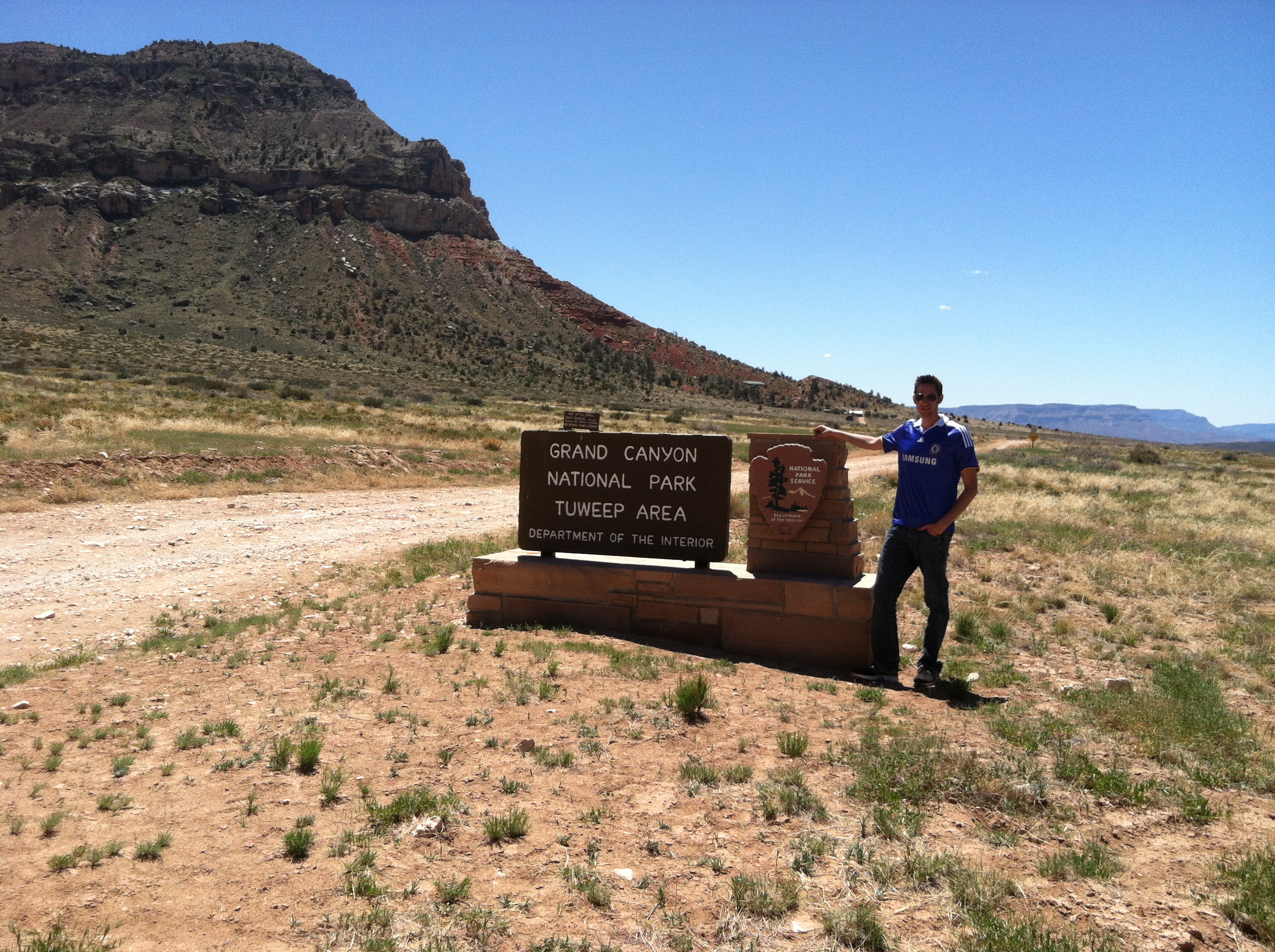
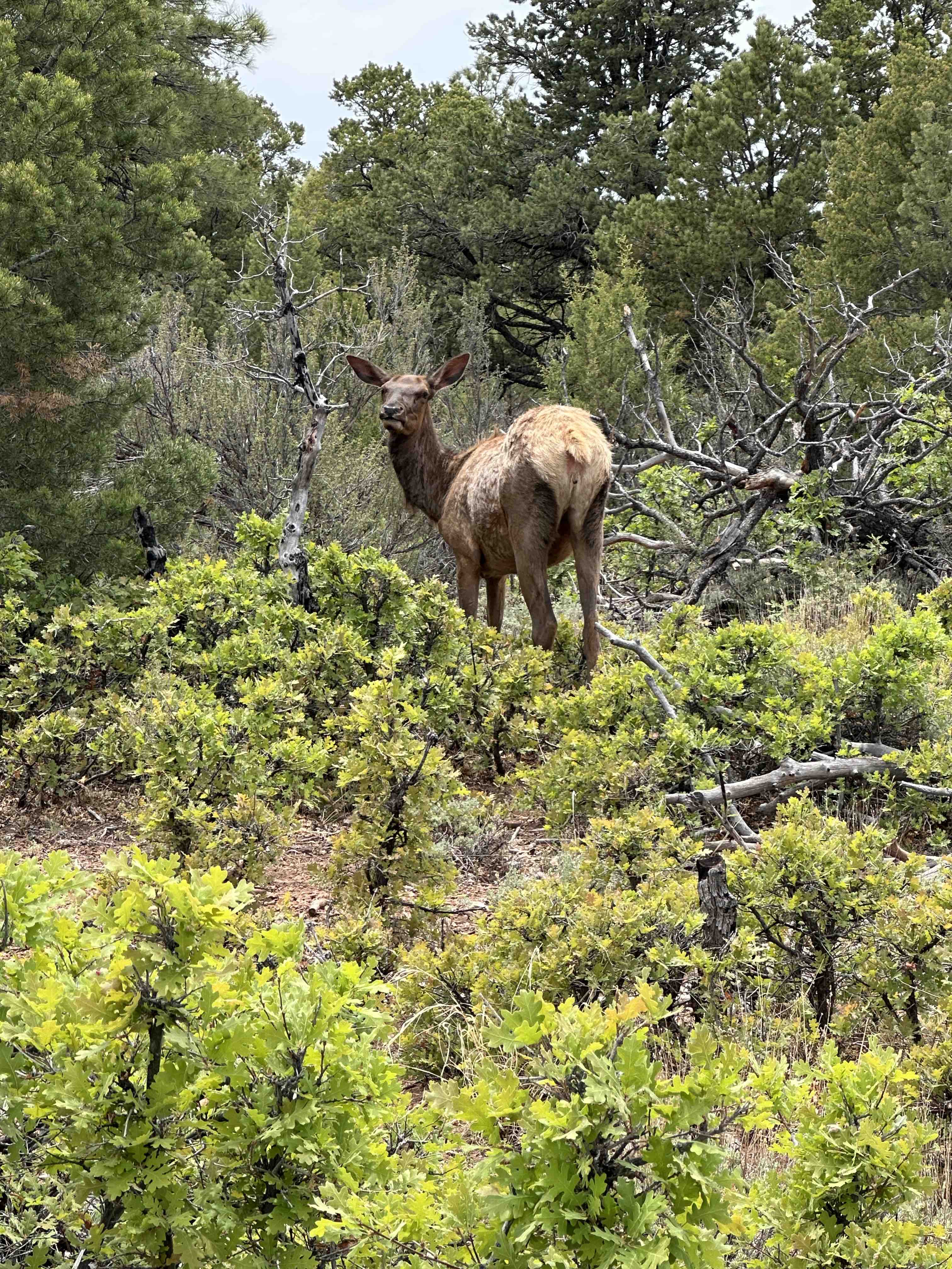
We spent 3 nights and two days in Grand Canyon National Park, Arizona. We camped at Mather Campground, not far from the South Rim Visitors Center and Village. There are small restaurants, shops, a grocery store and a laundry facility in the Village near this campground and Visitors Center. This location is central to everything on the South Rim. If camping is not your thing, there are lodges available in the Park also.
Helpful Tips
If you plan to visit and stay overnight or longer, plan ahead – we made our campground reservations about 6 months in advance. We visited the Park in May and while the Park was busy, it was not crazy. Also, the weather was perfect, with the highs in the low 80’s at the rim of the Canyon, which is about 7,000 feet in elevation. Keep in mind as you descend into the Canyon, the temperatures increase dramatically. To avoid the hassle of trying to find a parking spot at the various viewpoints, use the Park Shuttles, they are very useful and make regular stops.
Below are listed our main stops and activities in Grand Canyon National Park.
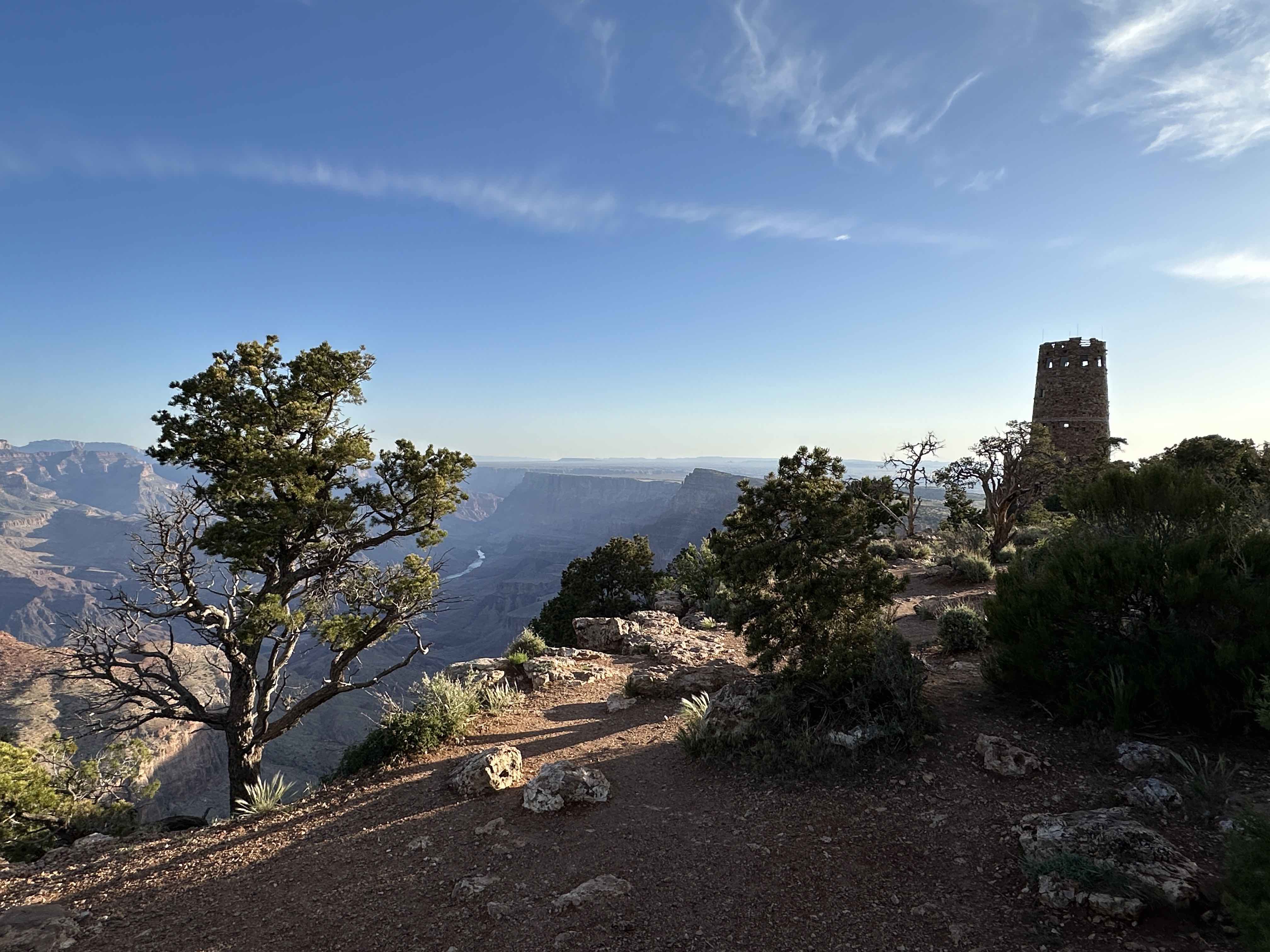
Desert View Viewpoint
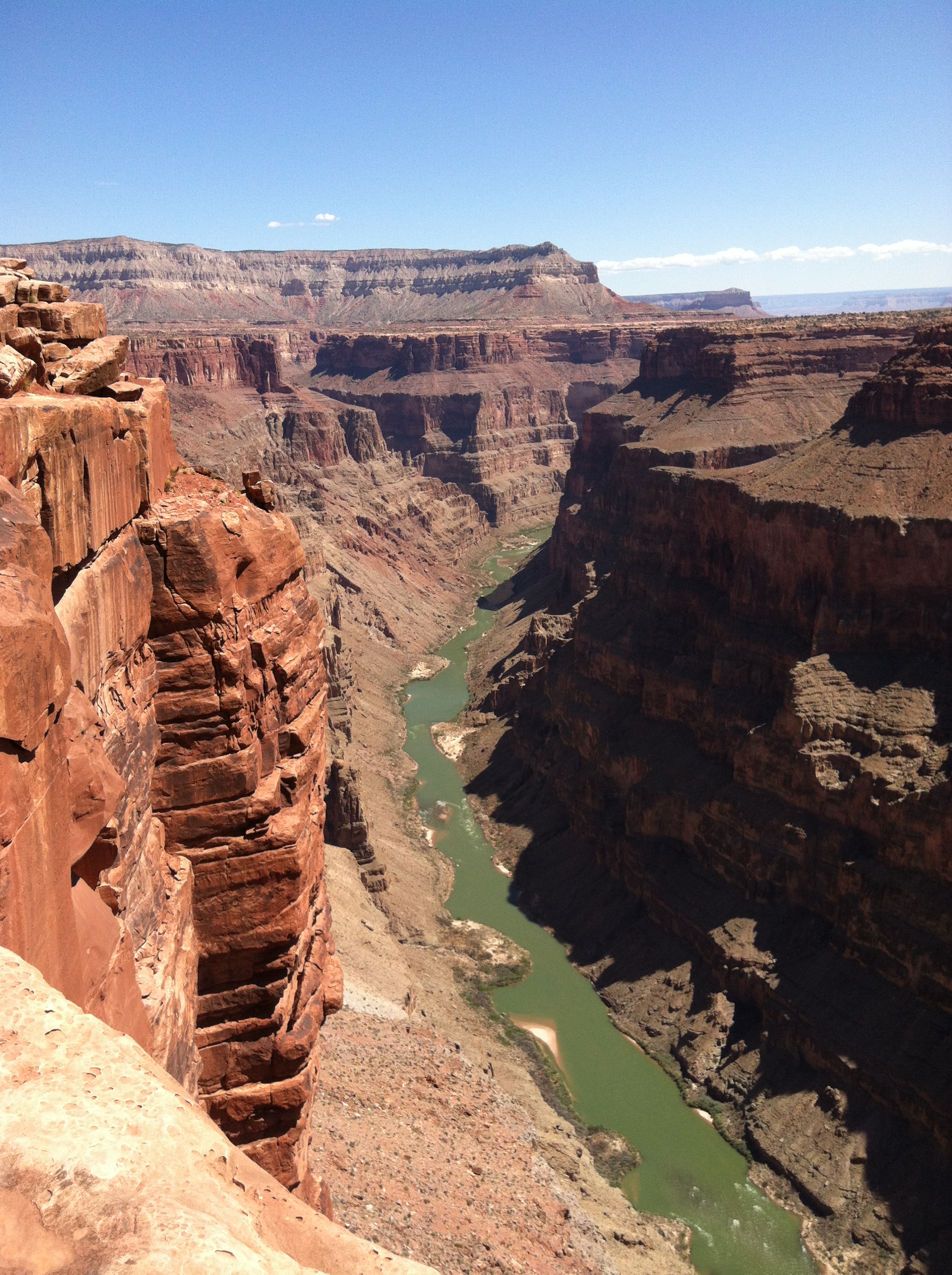
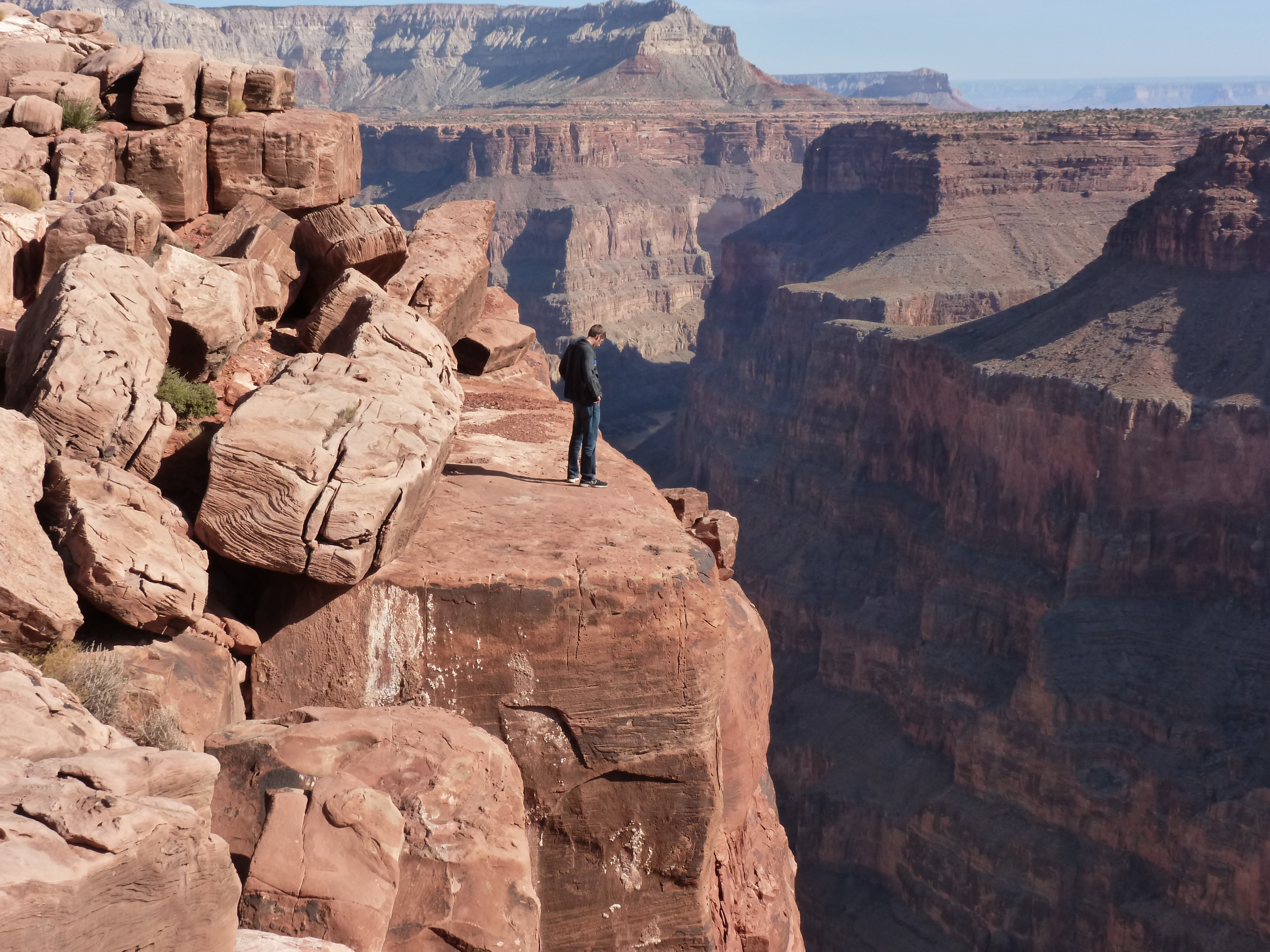
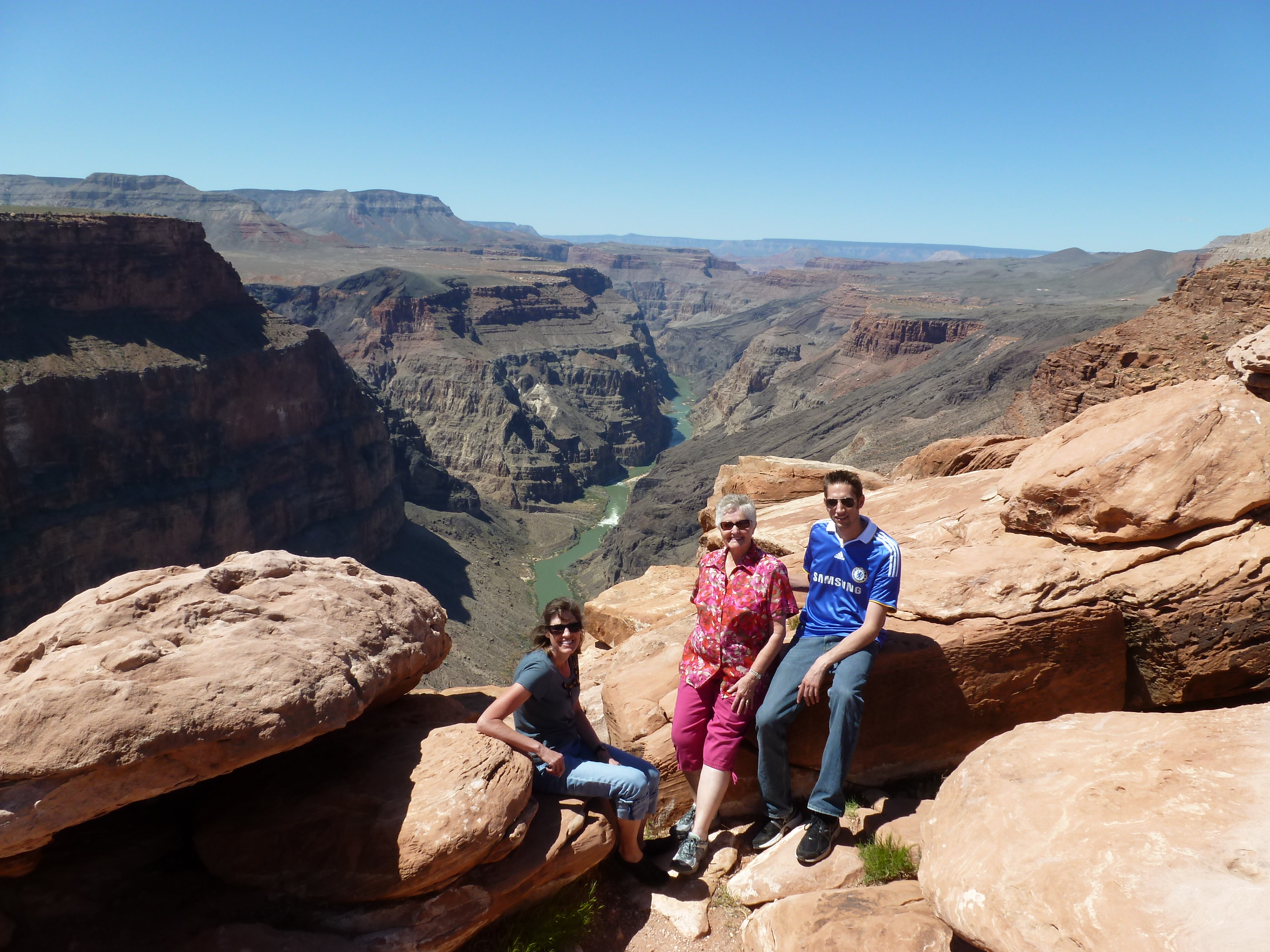
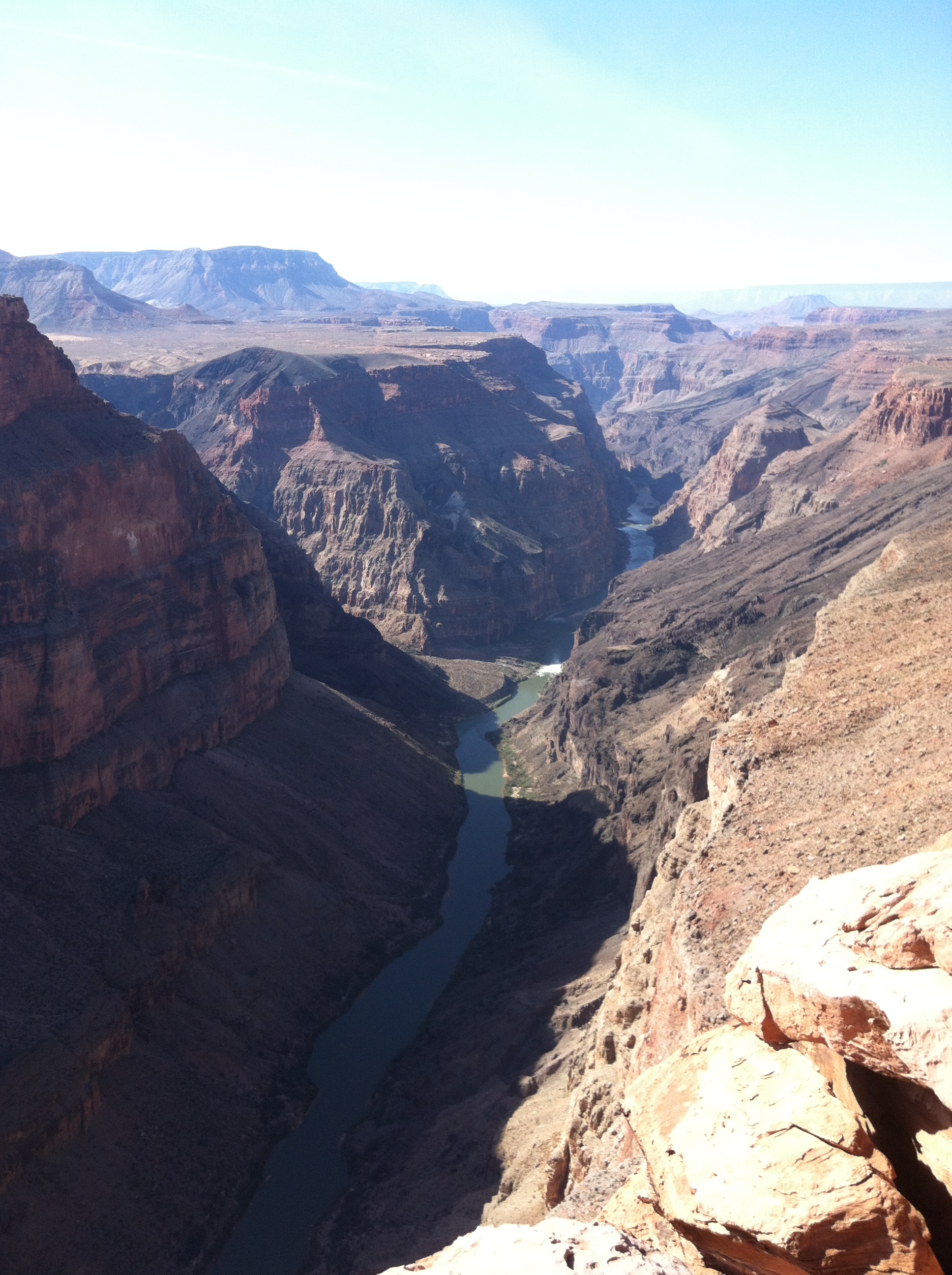
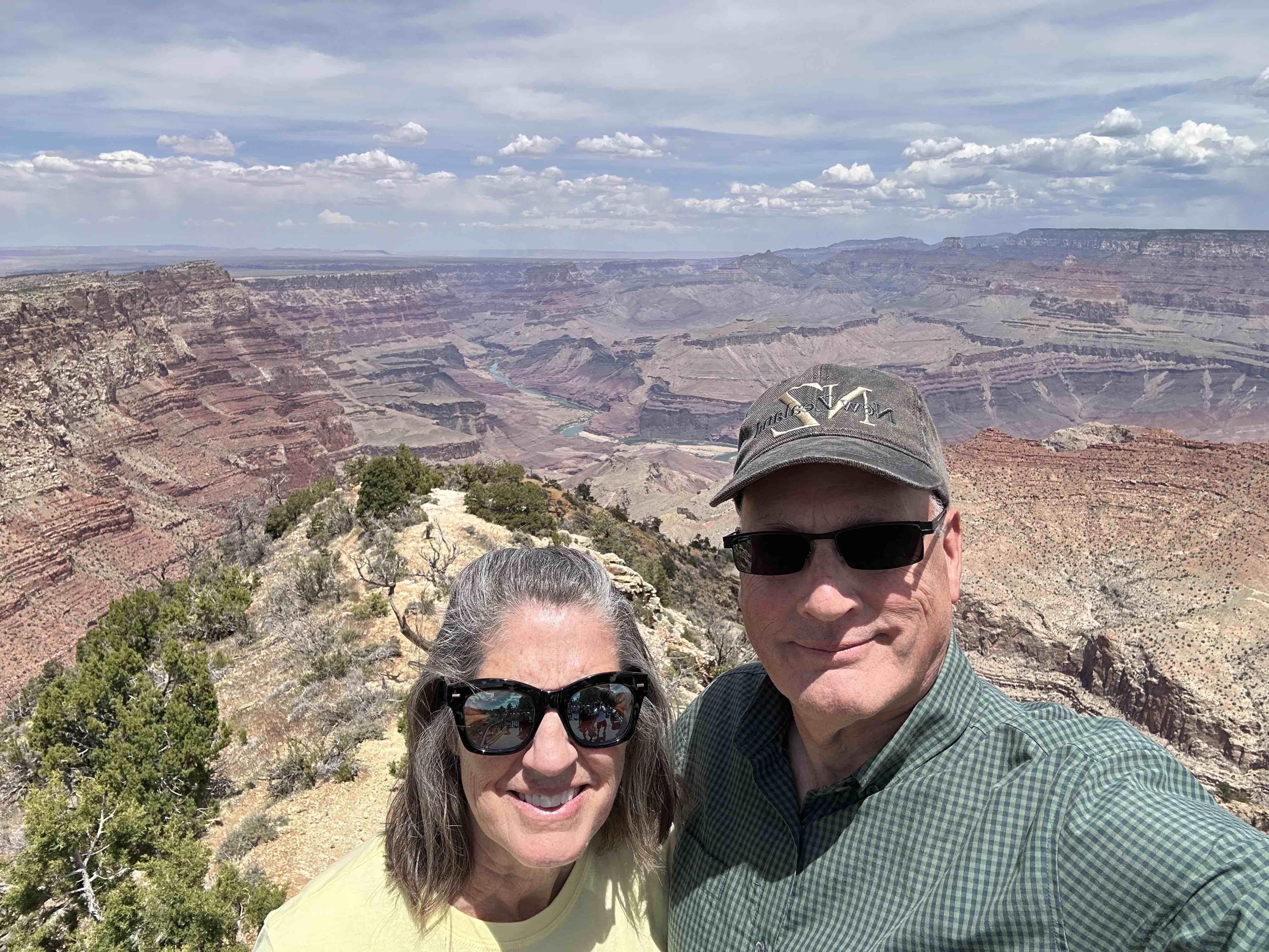
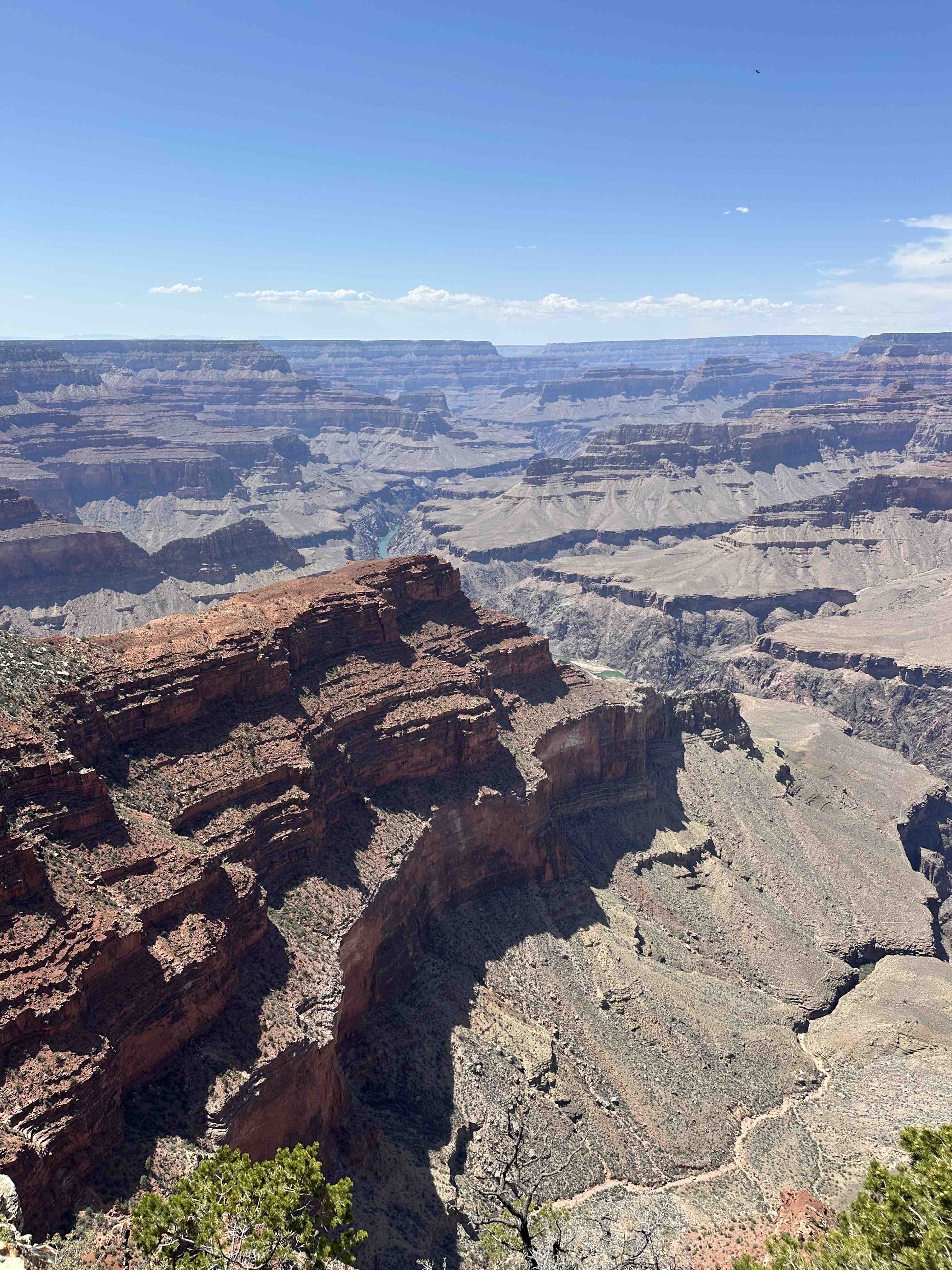
This viewpoint is located near the East Entrance to Grand Canyon National Park and is one of the few places you glimpse the Colorado river at the bottom of the Canyon.
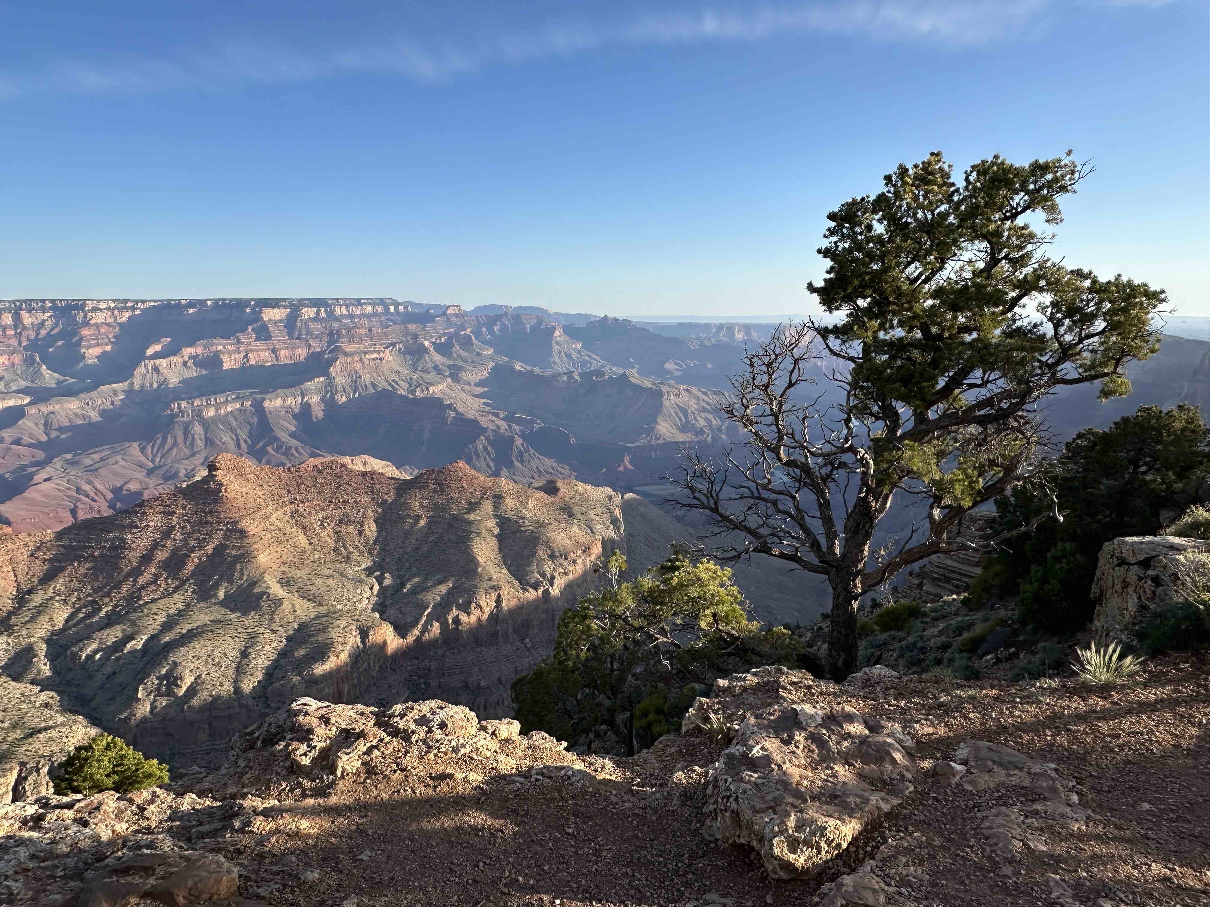
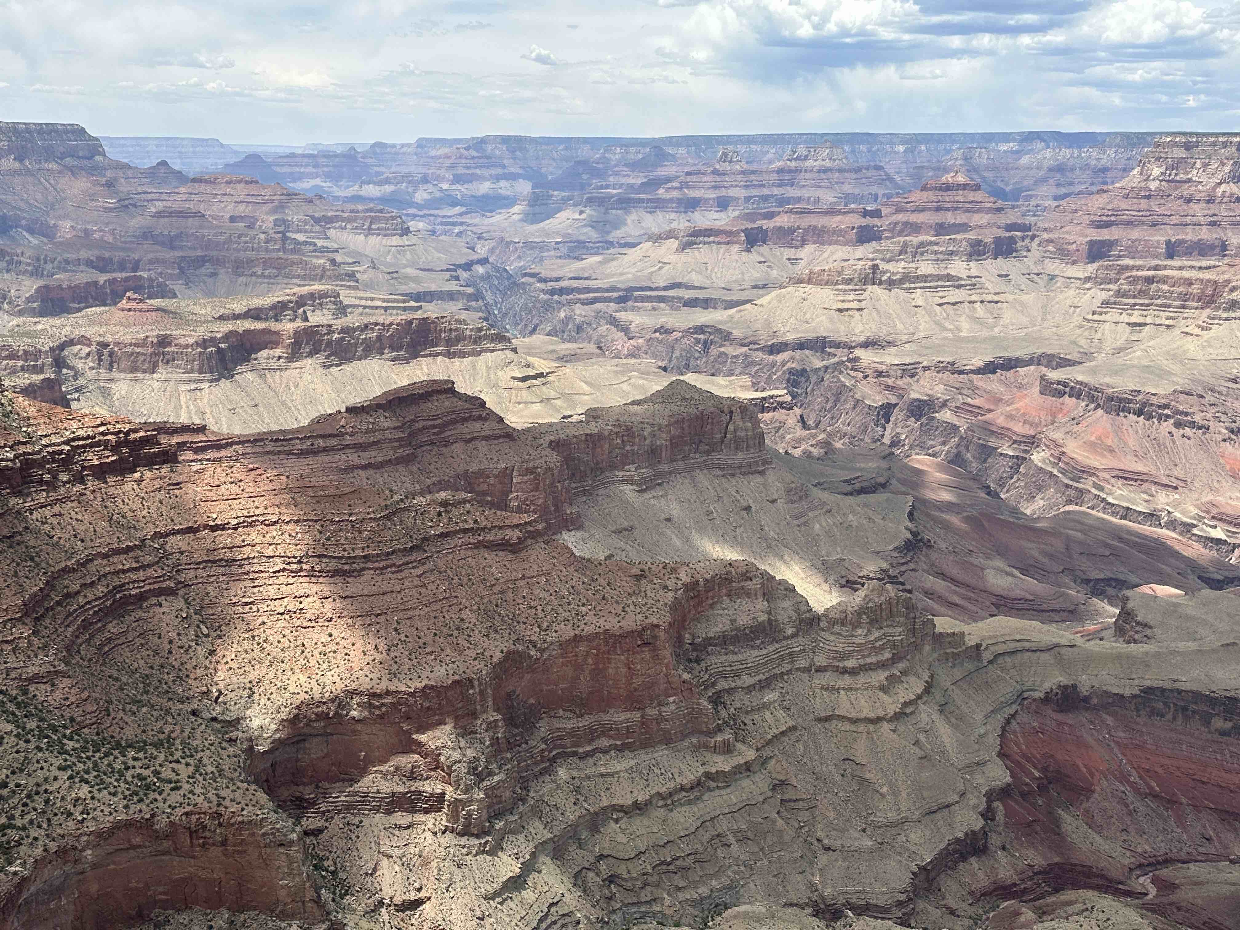
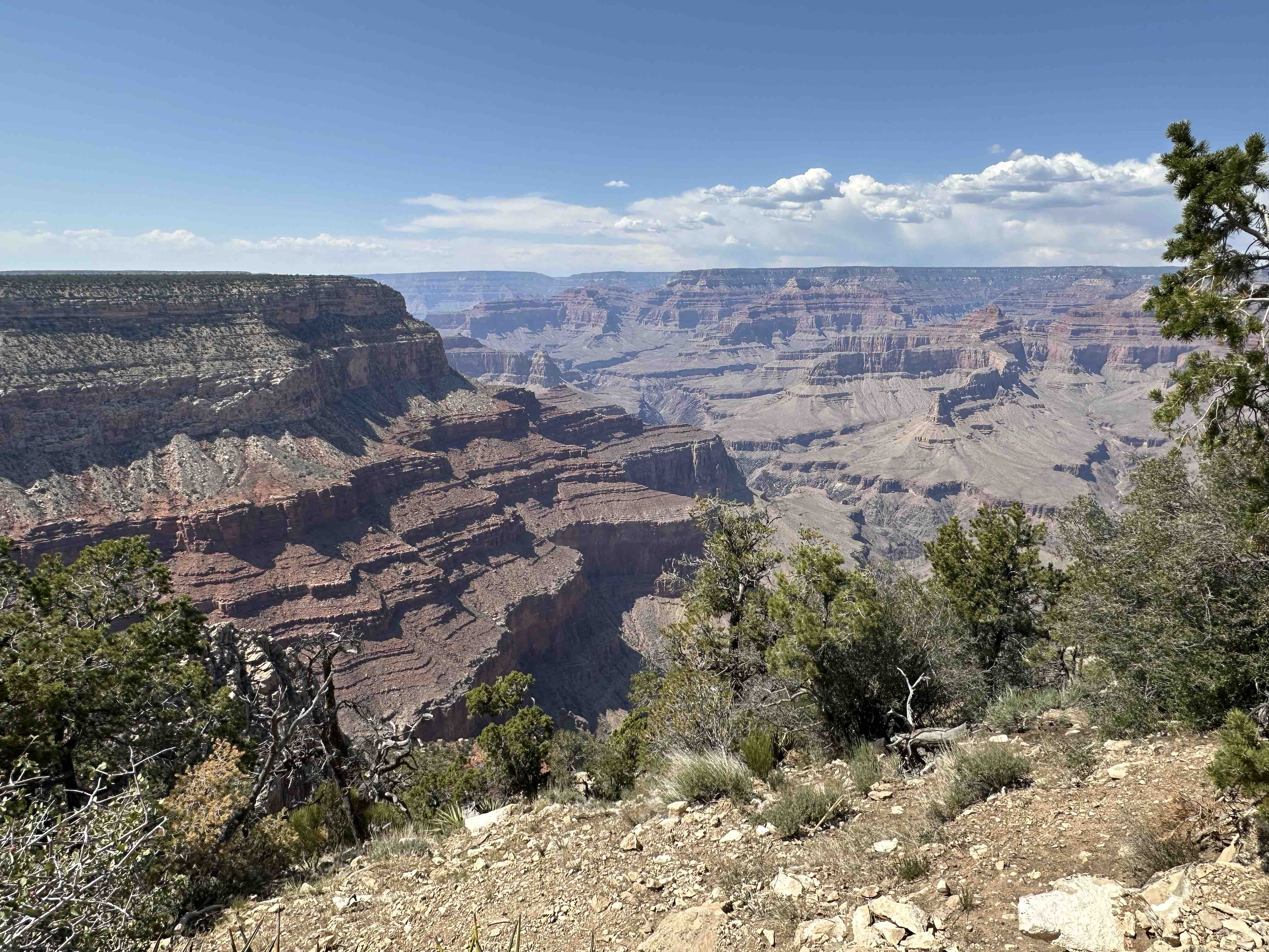
Moran Point
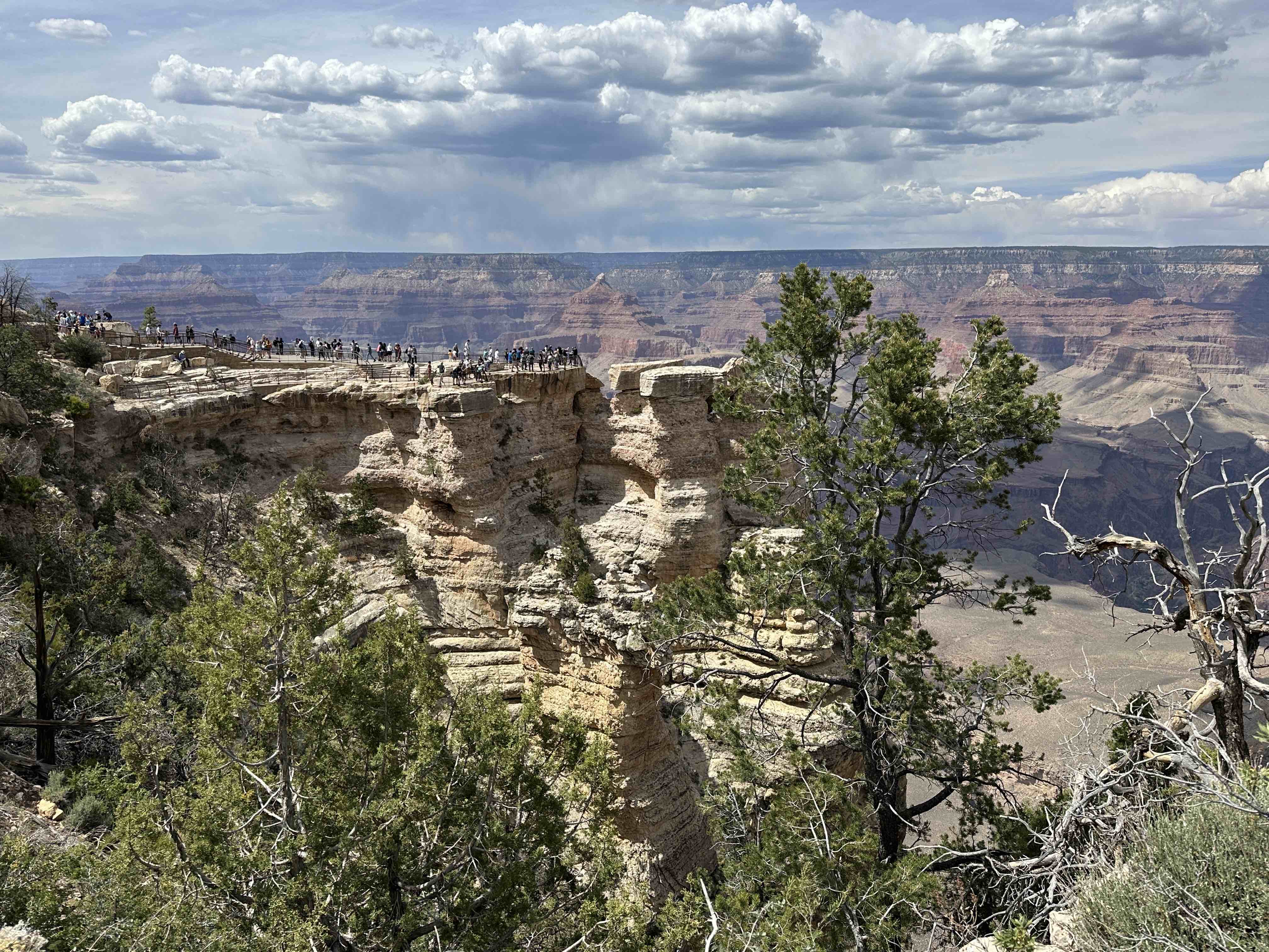
Mather Point/Visitors Center
There is a useful display at the Visitors Center of the various trails – their length, difficulty, and suggested turnaround points (unless you are backpacking into the Canyon for one or more nights). There are also several films about the Park and its Native American history.
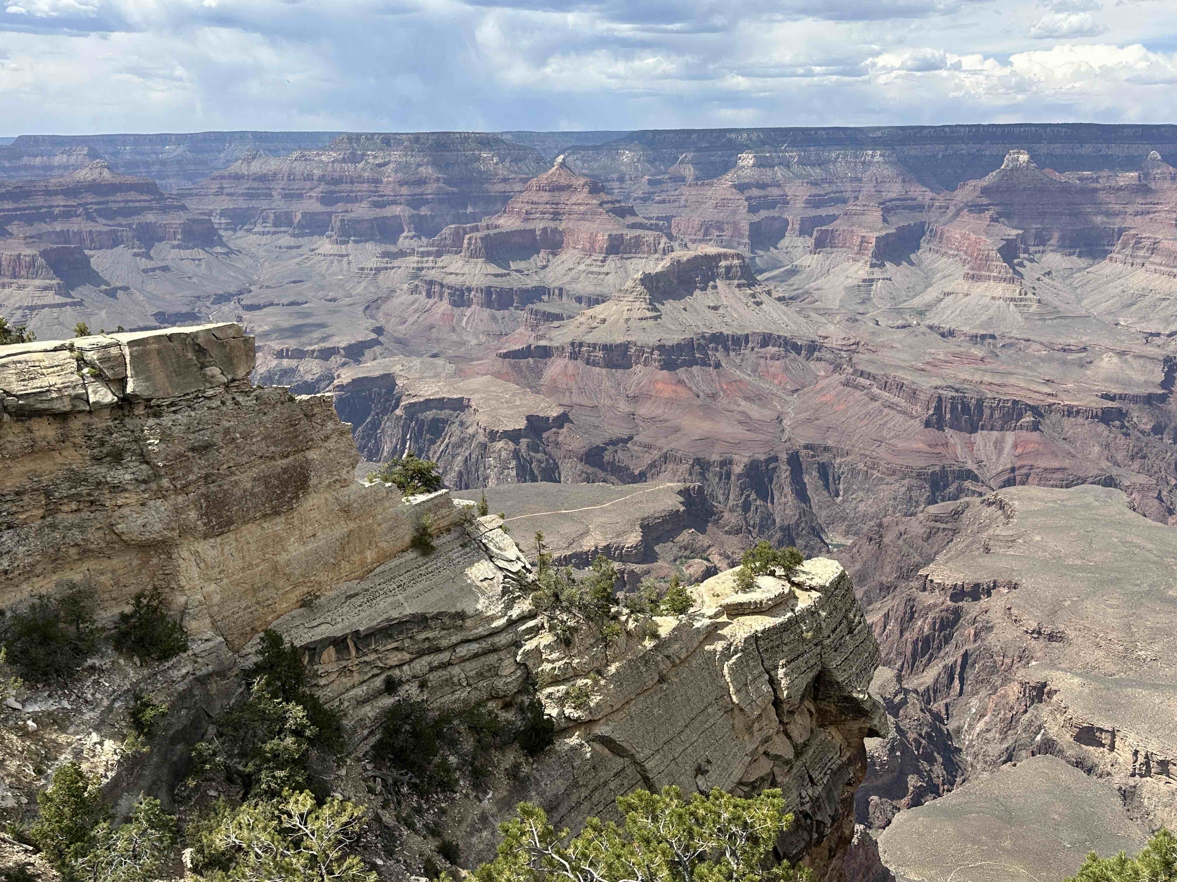
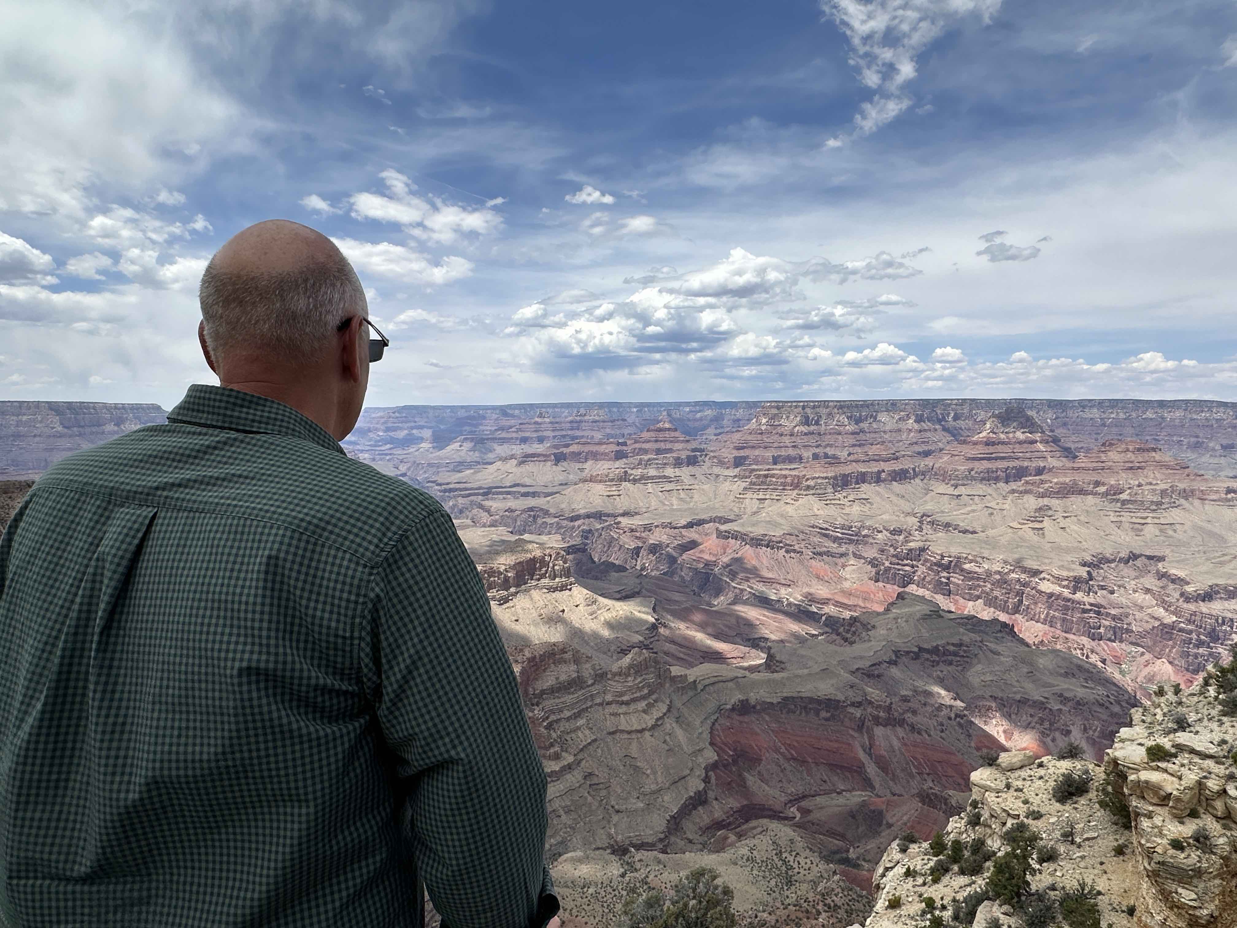
Rim Trail
The Rim Trail extends from South Kaibab Trail on the east to Hermits Rest on the west (about 11 miles between these points). Most of it is paved and you can rent bicycles at the Visitors Center if you’d prefer to ride along this trail.
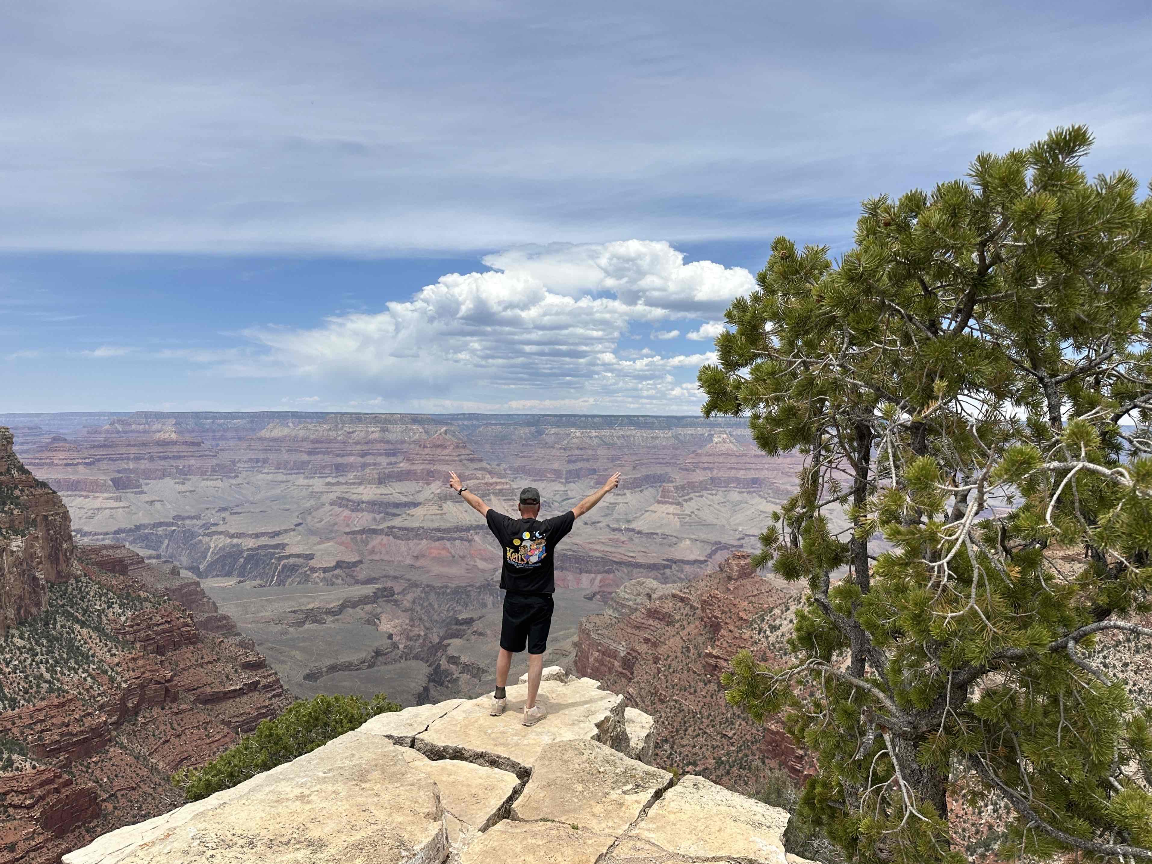
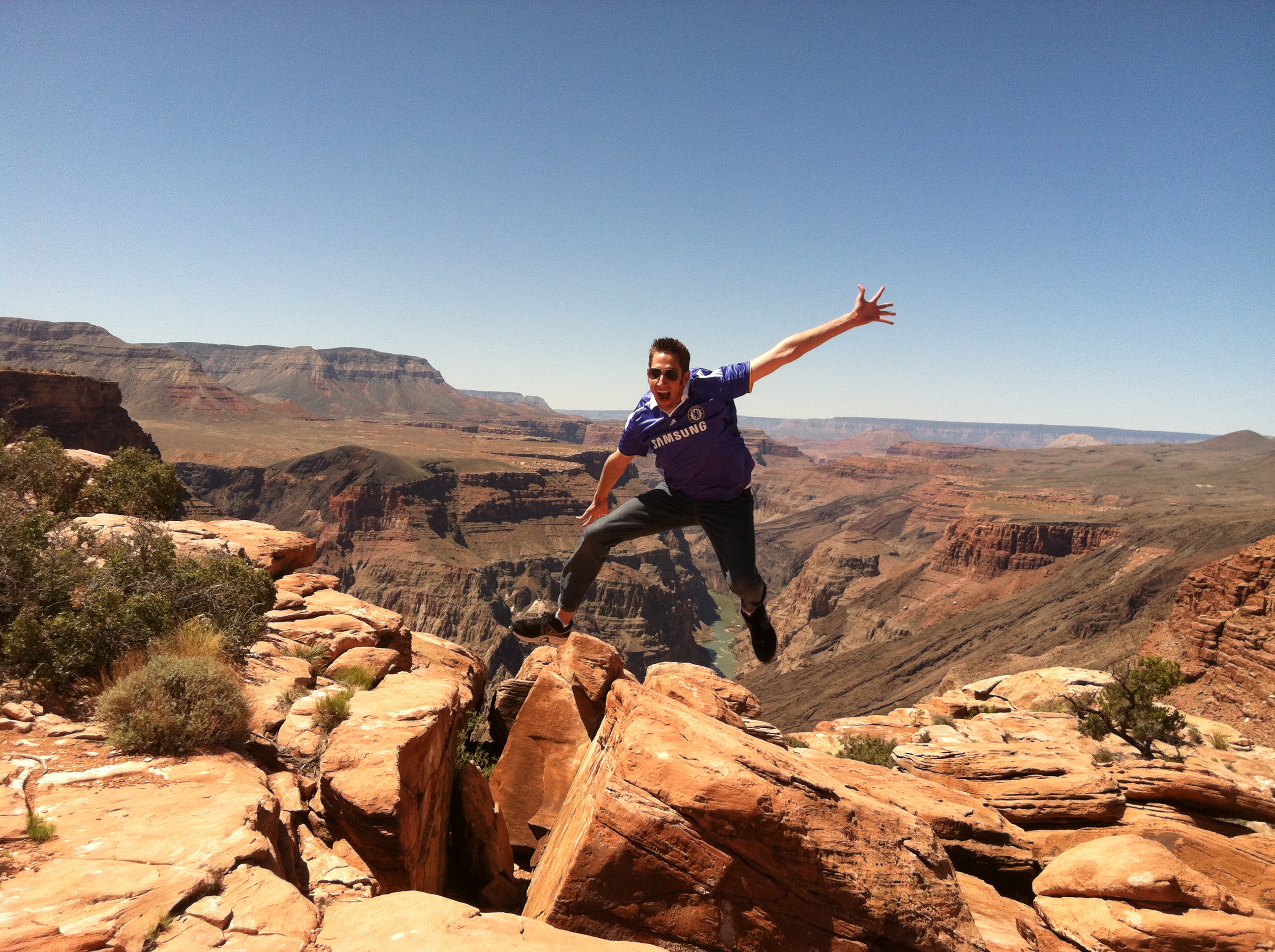
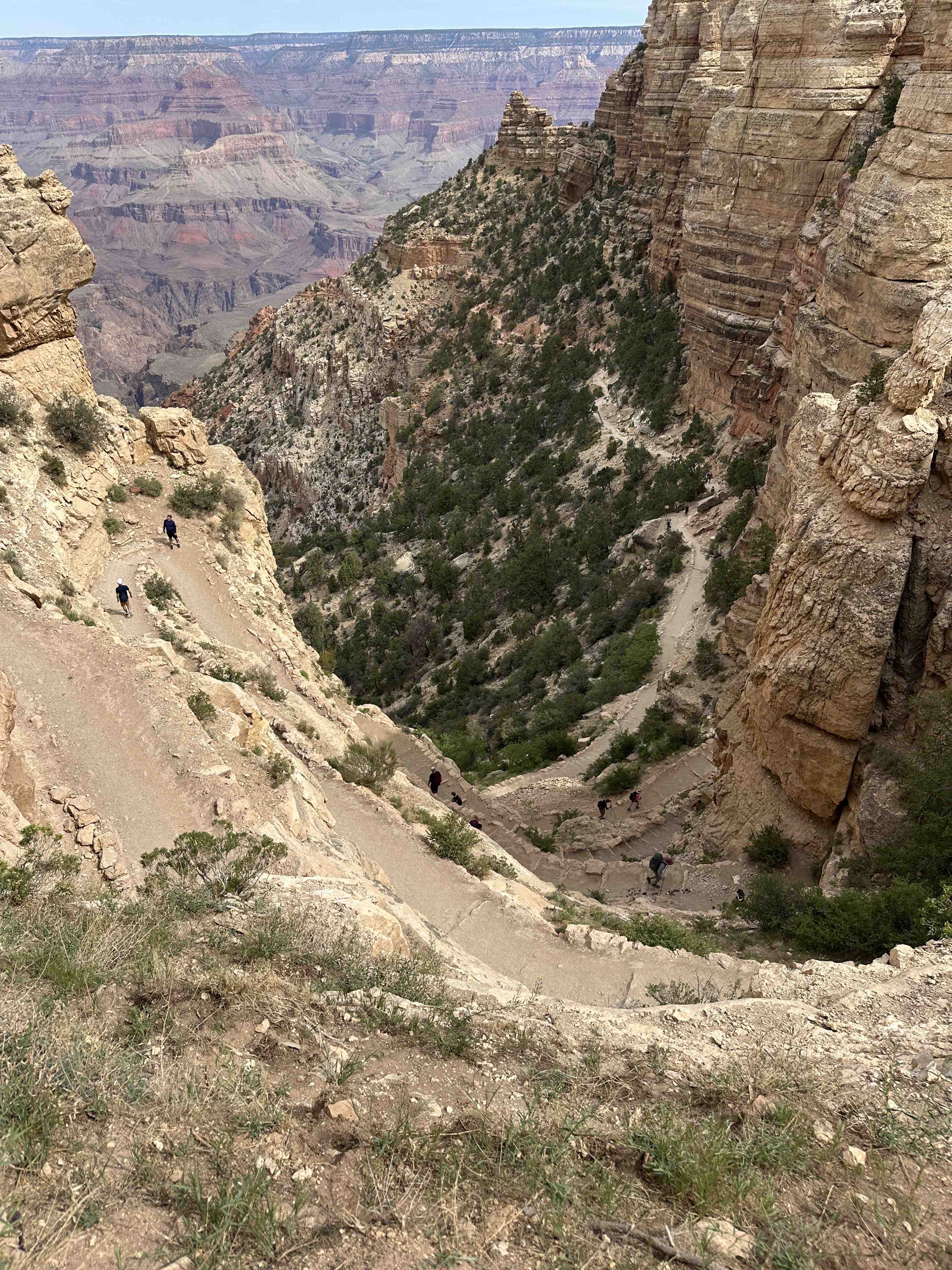
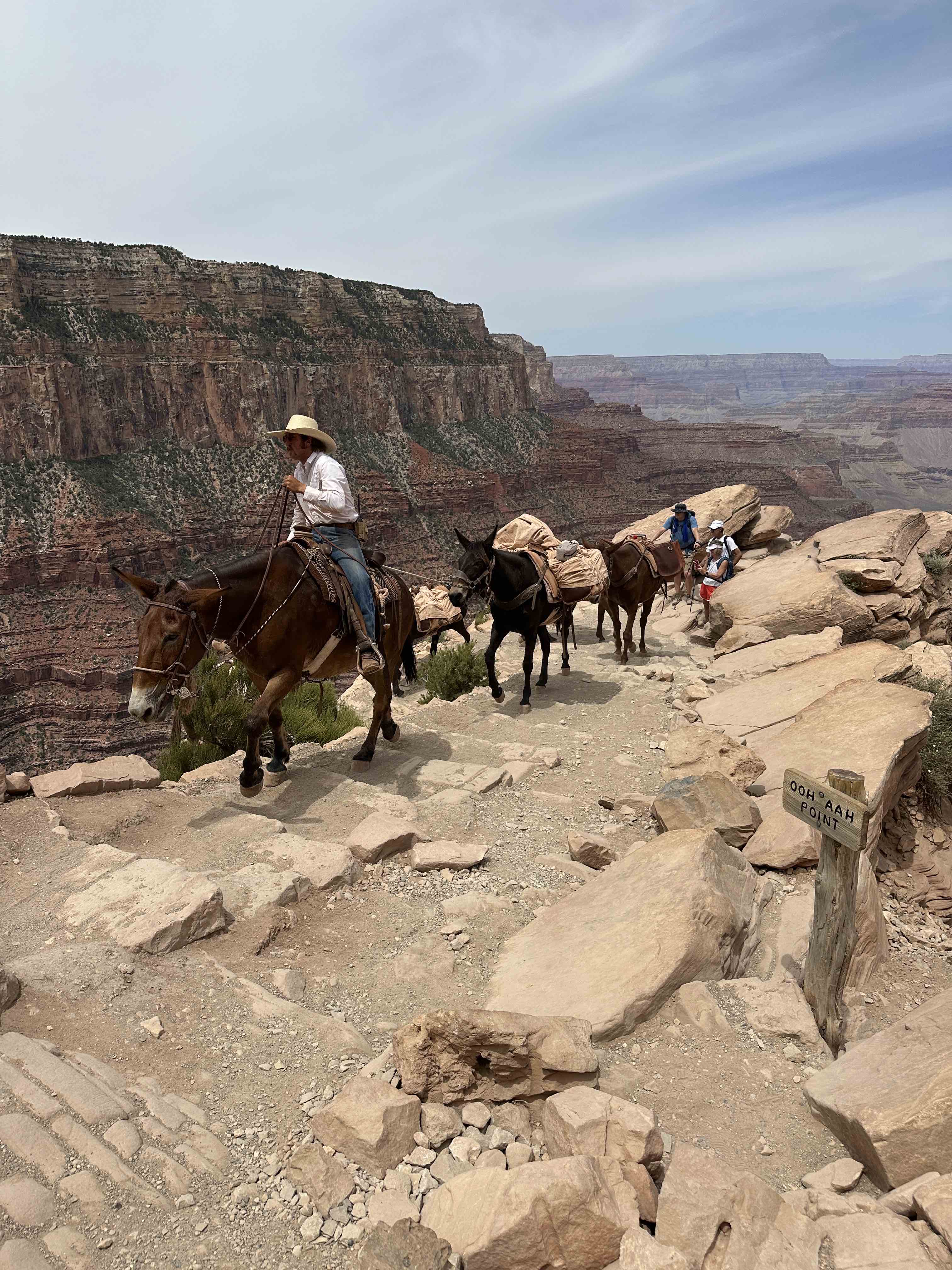
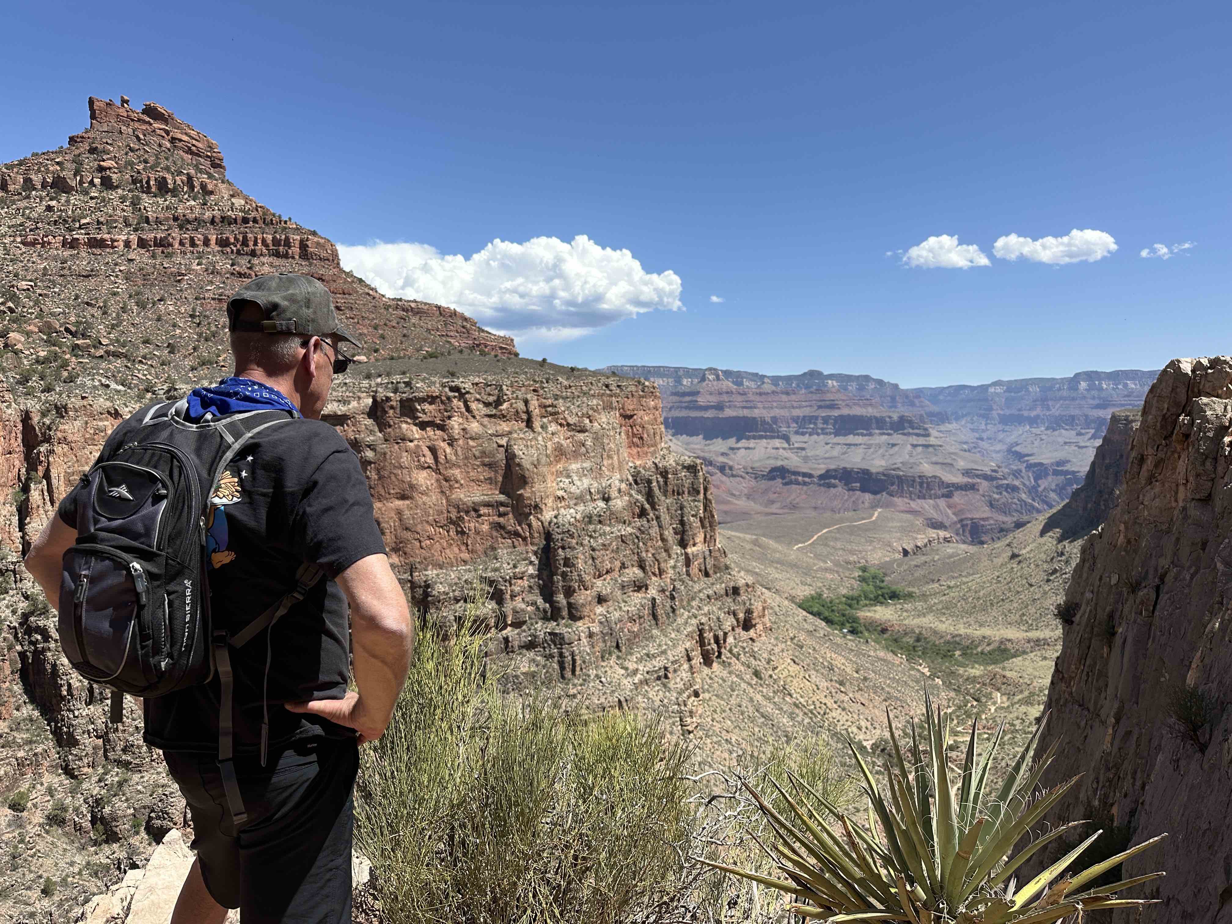
South Kaibab Trail
This was our favorite trail, because of the beauty and narrow canyon walls. It is one of the two main access points to descend into (or ascend out of) the Grand Canyon if you plan on hiking from rim to rim. We ran across several hikers either finishing their backpacking trip or starting out. It’s over 20 miles from rim to rim, depending on your route. Keep in mind there is no water on this trail, at least until you reach the Colorado River.
Do not underestimate the steepness of the trails or the heat, or the time required to hike back out of the Canyon if you’re doing a day hike. Even in the spring it felt pretty warm as we descended lower into the Canyon. I was glad I had brought as much water as I did.
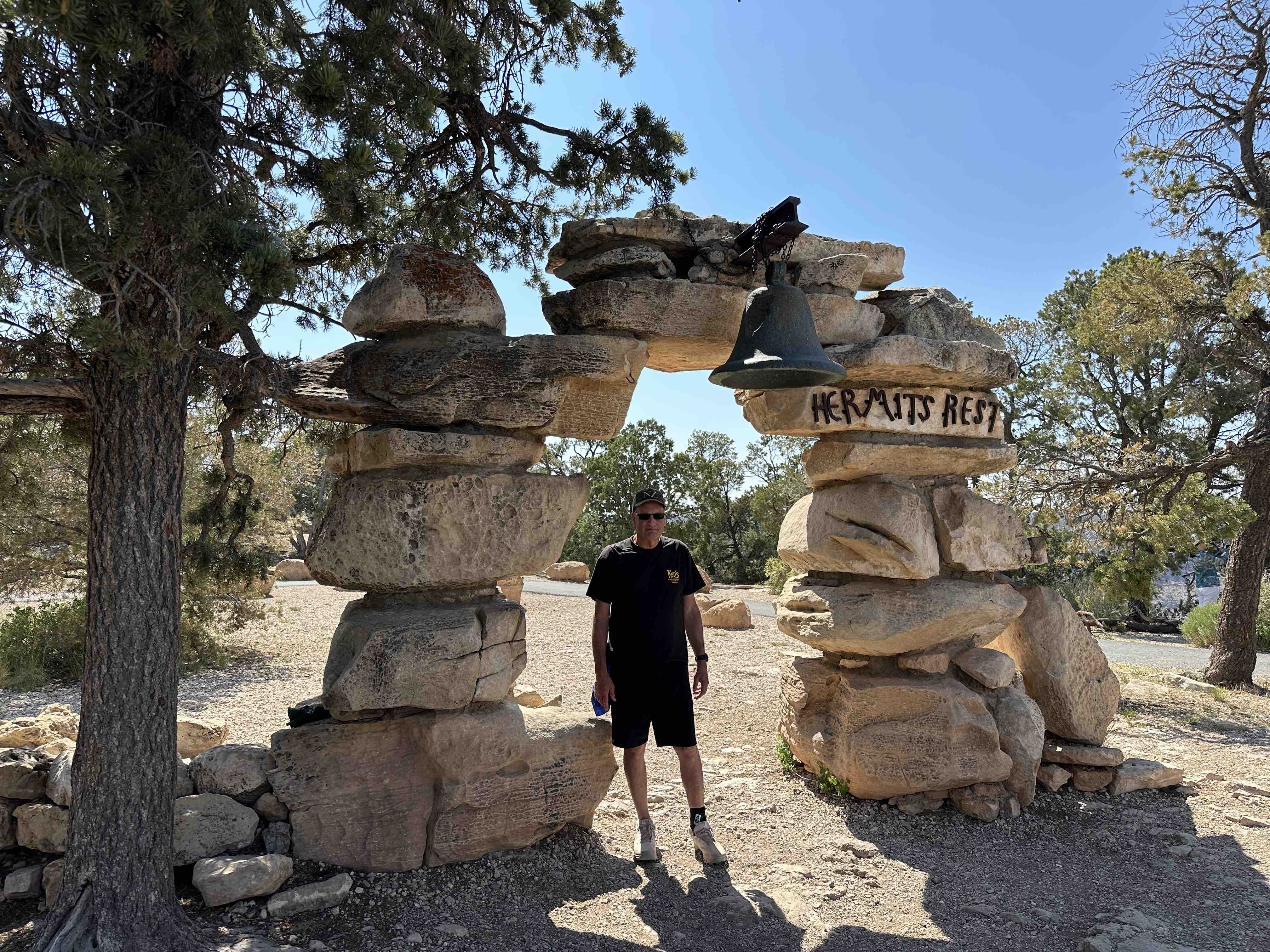
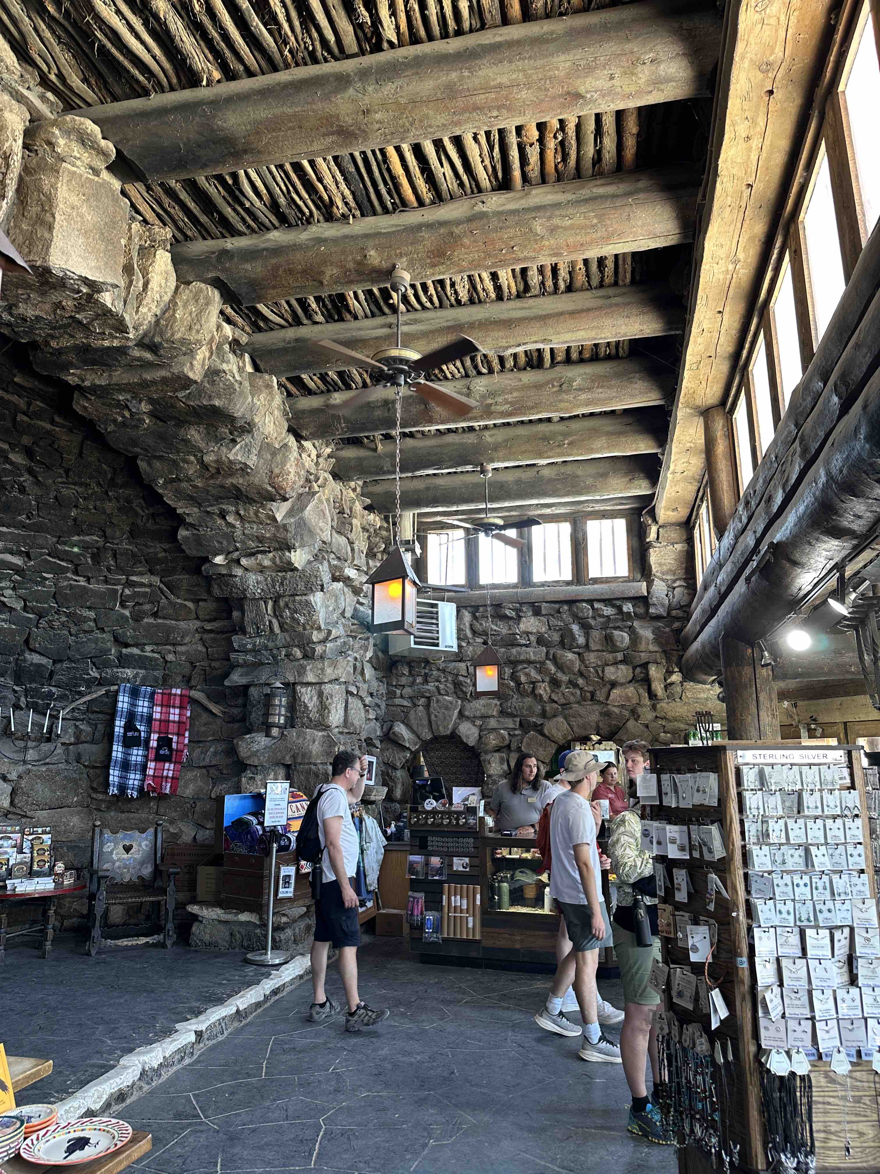
Hermits Rest
Hermits Rest is as far west as the South Rim Road (Desert View Drive) goes. This rest spot was established in 1914 for early visitors to the Park who arrived by horse and carriage. It is also the trailhead for Hermit Trail, which goes down to the Colorado River (about 9 miles one-way). We took the Park Shuttle out to Hermits Rest.
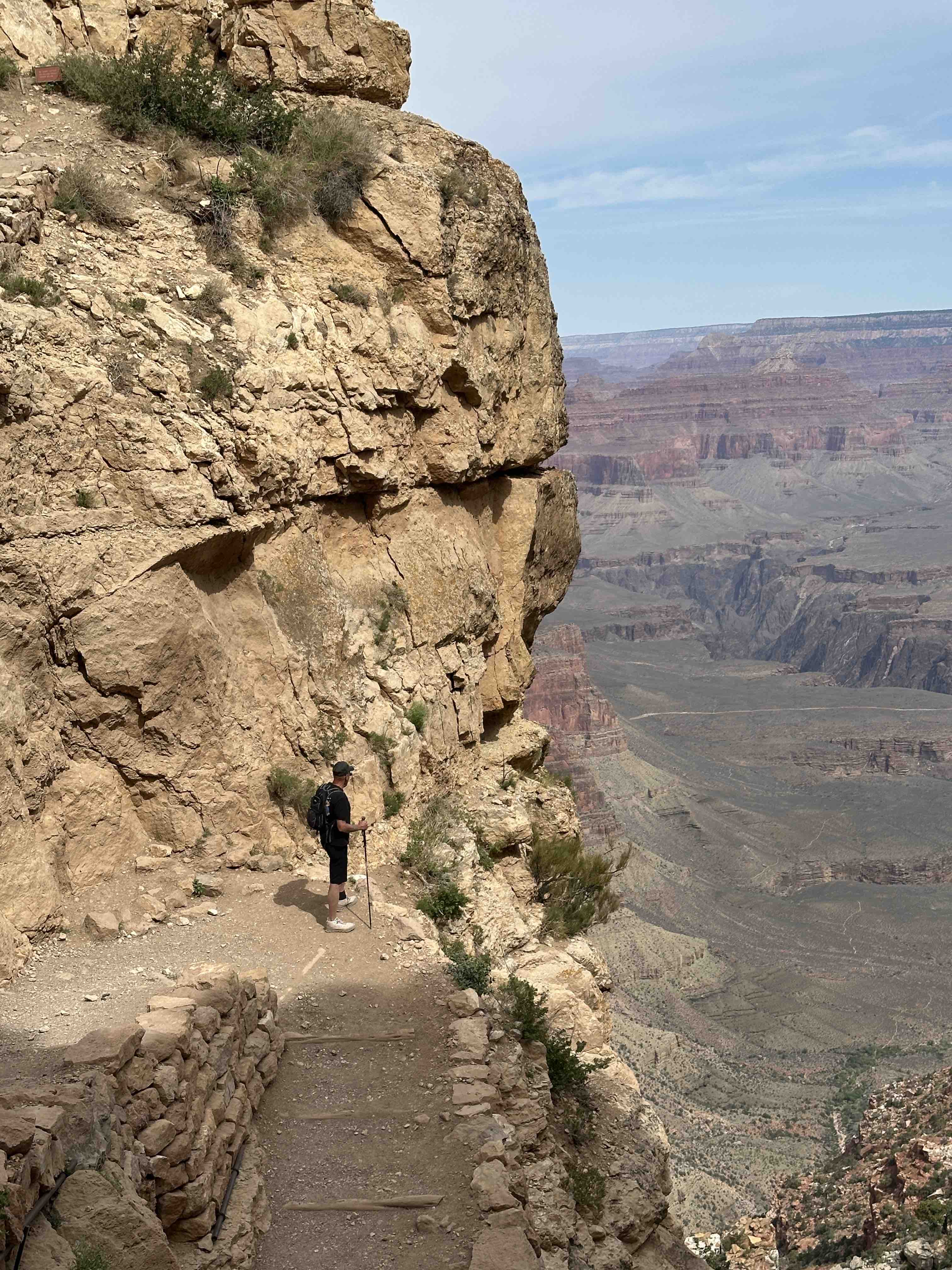
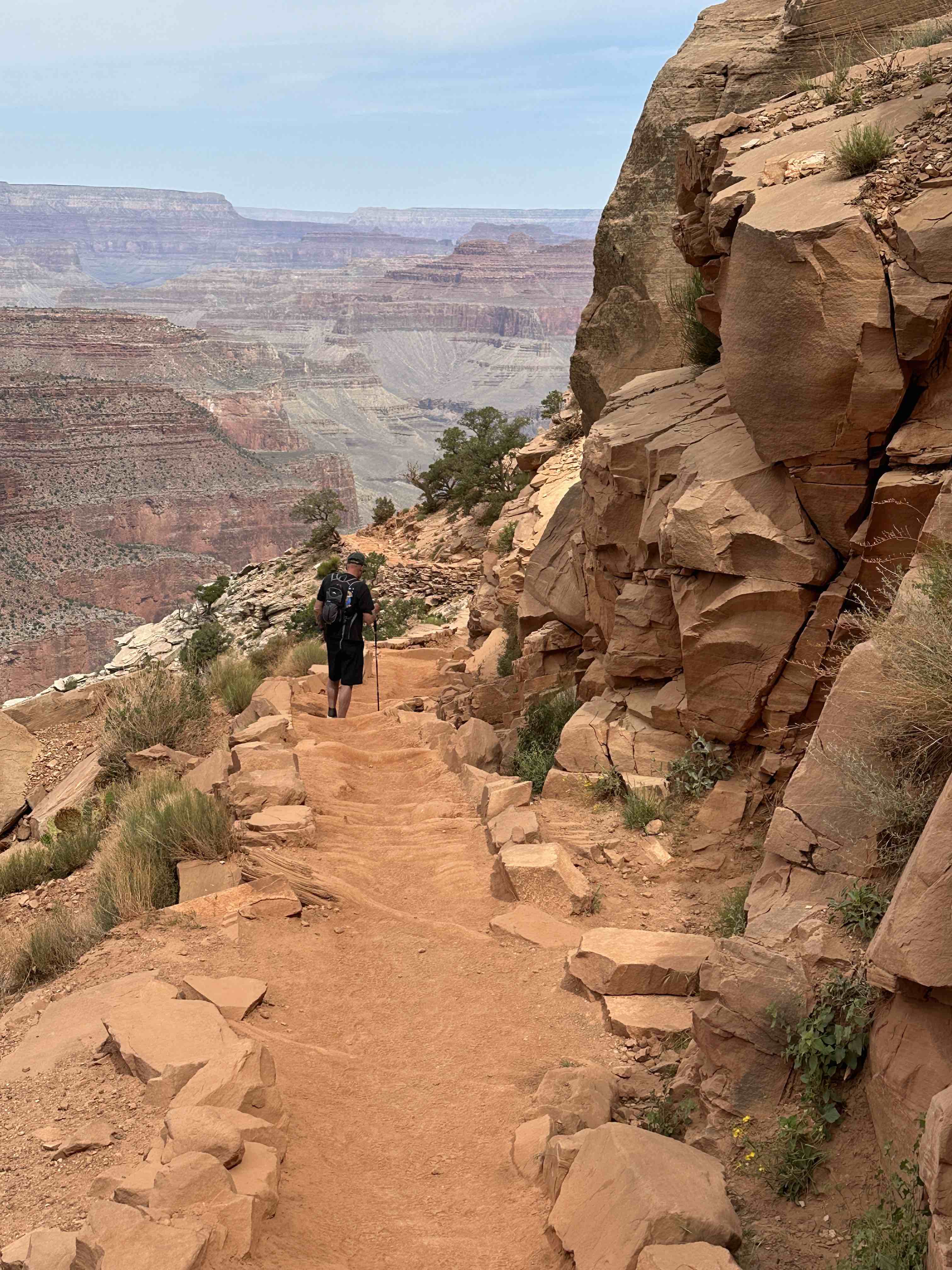
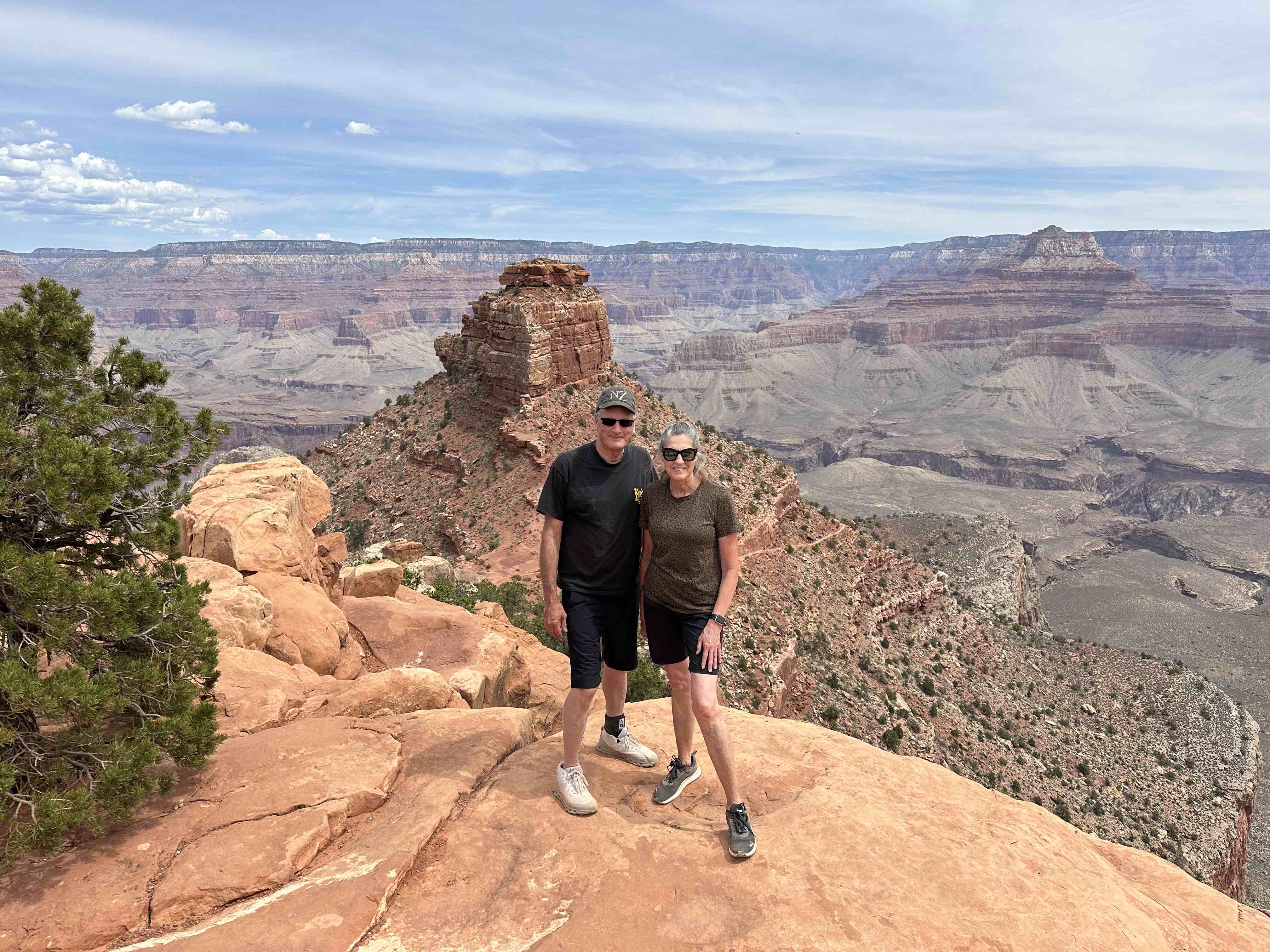
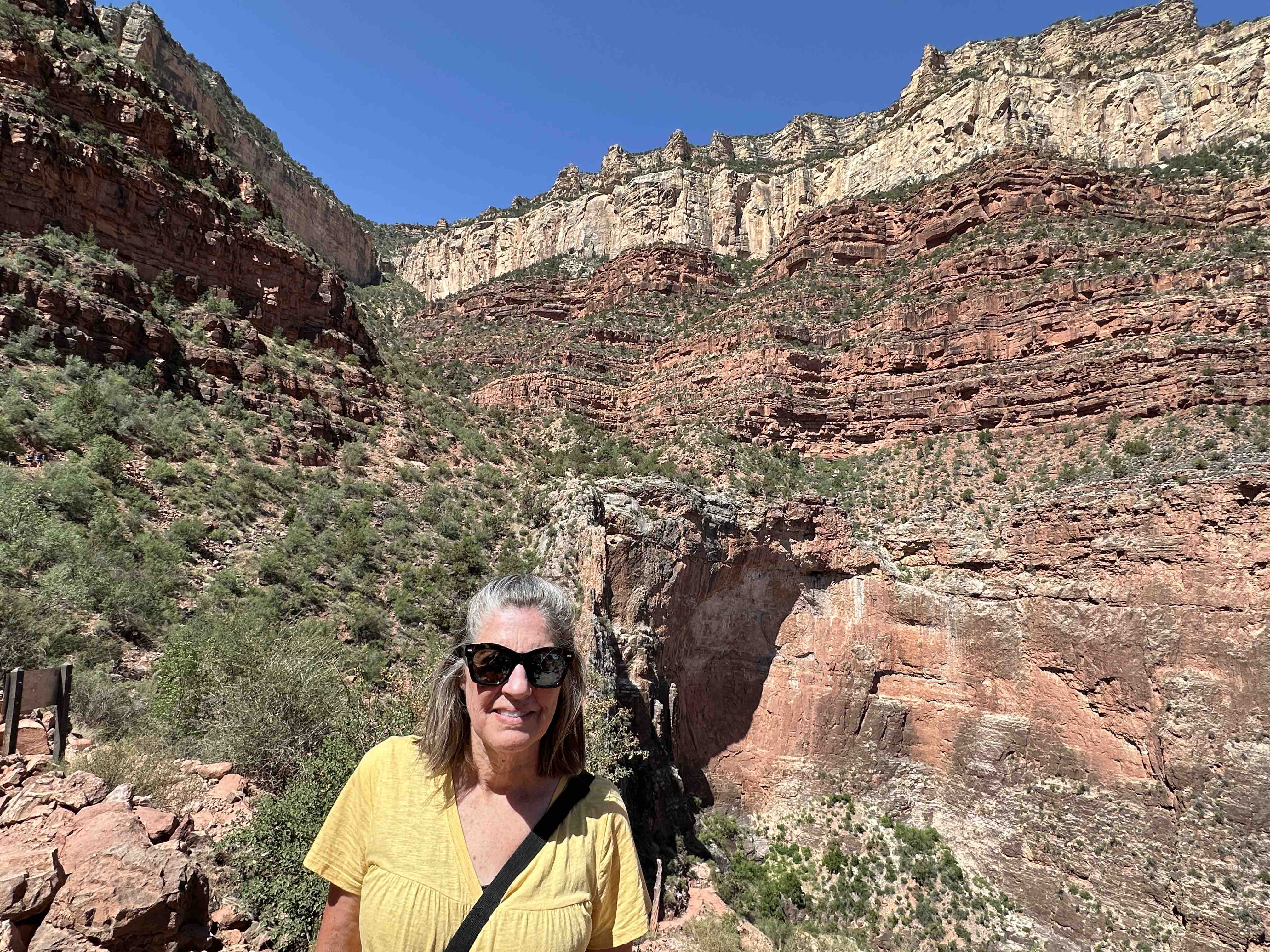
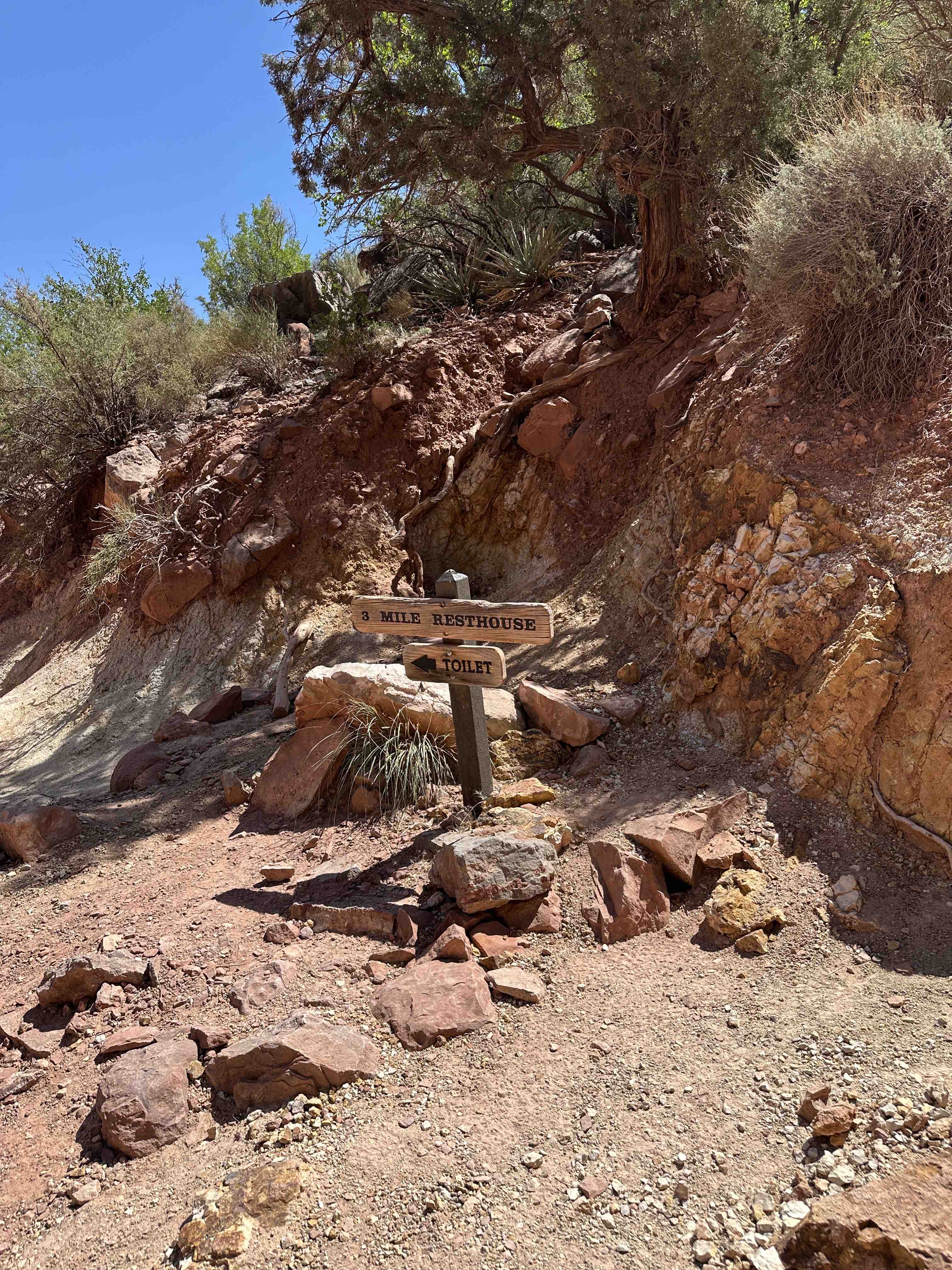
Bright Angel Trail
Bright Angel is another popular access trail for crossing the Canyon. There are several springs providing drinking water for hikers. As the signs say at each trailhead, hiking down is optional, hiking out is mandatory! We hiked about 3 miles down for a total of 6 miles round trip. It was the perfect length of day hike for us old-timers!
Grand Canyon National Park is fascinating and clearly one of our world’s natural wonders. There is lots to do here and something for every level of fitness. I highly recommend at least an overnight stay in the Park if your plans can accommodate that much time.