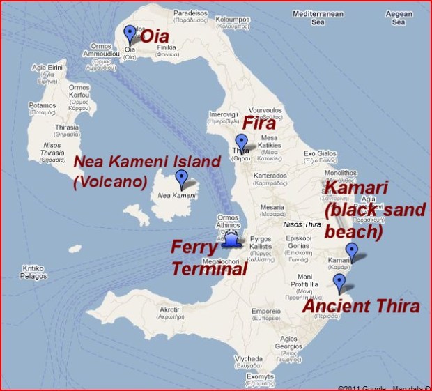
Map of Santorini Island.
On the east side of Santorini are two towns both with black “sand” (more like “black pebbles”) beaches. In between these towns on a very high (over 1,000 feet) hill, (called Mésa Vounó) are the ruins of Ancient Thera (also spelled Thira). We took the bus from Fira to Kamári, the location of the northern black sand beach and launch point up to Ancient Thera. There is a small tourist agency at the Kamári bus stop (renting ATV’s etc.), that provides transportation up to the site if one prefers not to walk. The road up to Ancient Thera is steep—with at least 25 switchbacks. We hired a little van to take us up (and back down) the steep road for €10 per person. From the point where the van drops you off, it is still another quarter mile hike to the main site. There is a small entry fee of €2 per person.
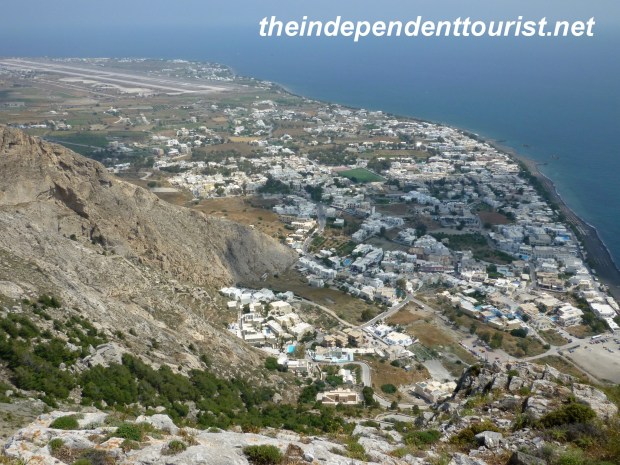
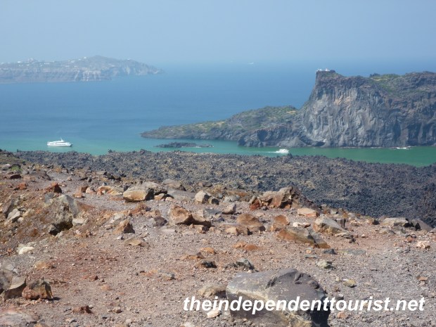
View of Kamari and black sand beach from Mesa Vouno.
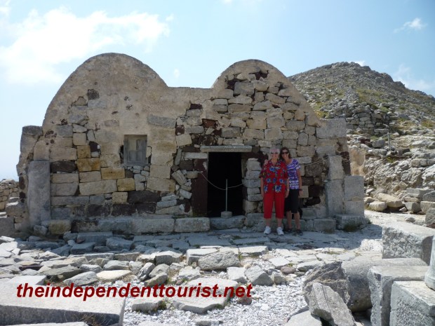
Agios Stefanos Church – 8th/9th century.
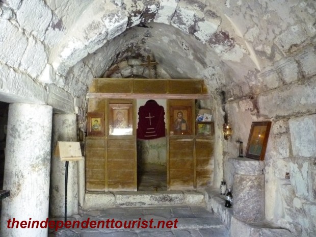
Interior of Agios Stefanos.
After paying the entry fee and prior to reaching the ancient Greek site, there is the little Church of St. Stephen (Agios Stefanos), off the right side of the trail. The current little church dates from 8th or 9th century A.D., and is built out of the ruins of a 6th century church on the same spot. Construction in the 8th and 9th century was rough and done quickly, during the tumultuous era of Arab invasions.
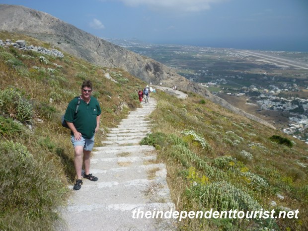
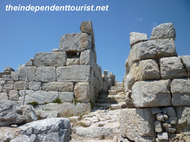
Hiking up to Ancient Thera.
Ancient Thera, was first settled by people from Sparta, and was named for their leader, Theras.
It was a Greek city-state founded in the 8thcentury B.C. The city occupied a strategic and fortified position overlooking much of the eastern coast of Santorini, and had cultivatable lands nearby below the city. Ancient Thera was a large, highly developed city, and consisted of open air sanctuaries, temples, public buildings, a theater, shops, residences, a sophisticate road network, cisterns, and sewage system. Residences in the city were for the more wealthy people.
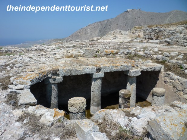
Cistern in Ancient Thera.
Most homes were two levels, using local volcanic rock (some of it red stone), and most homes had cisterns below to collect rain water. Most homes had decorative plaster inside and mosaic floors were common (some remnants remain). Thera was a naval base during the Ptolemy monarchs of Egypt (who eventually came under Roman rule), and most of the ruins date from 3rd and 4th centuries B.C. Beginning in the 3rd century A.D., the city began to decline, but was still inhabited as late as the 8thcentury A.D. It was eventually excavated in 1896.
Street corner in Ancient Thera.
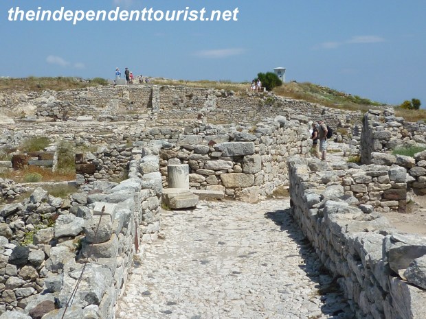
Street in Ancient Thera.
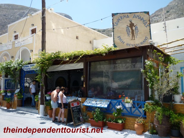
Taverna Andreas in Kamari.
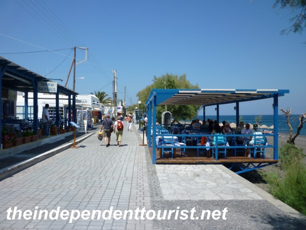
After touring Ancient Thera, we ate lunch in Kamári, at an excellent restaurant (Taverna Andreas). We then walked out on the “boardwalk” by the beach. It’s lined with small shops and restaurants, but compared with Fira, it’s very quiet and laid-back. The beach is well-maintained—clean with lots of sun chairs, shade and services. Since the beach is mainly small black pebbles, it can get hot in the summer sun (not bad in late May). The view of Mésa Vounó from the beach is dramatic.
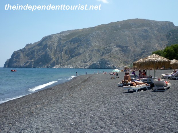
Beach at Kamari – Mesa Vouno in distance.
The town of Perissa is south of Mésa Vounó, and also has a black sand beach and tourist services.
Be forewarned that the bus (which runs about every hour) does not look kindly on those with wet swimsuits climbing onboard and getting the cloth seats wet! Either change before boarding, or ensure you are dry, or plan to stand for the 15-20 minute trip back to Fira.
The boardwalk – Kamari beach.

Another view of the black sand beach of Kamari.
Reference: Informational sign posts in Ancient Thera.