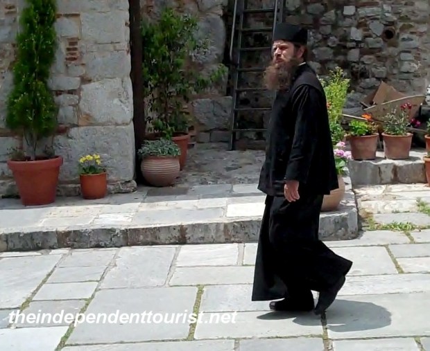
Although a stop in Athens is pretty much mandatory on a “must see” list of Greece, it is my least favorite location in this wonderful country. It’s a huge city, and mostly modern. It’s grown up almost overnight, with most of the growth occurring in the last 100 years, even though the city is ancient. We spent just one full day in Athens and were able to see everything we wanted to, including some hidden gems that relatively few tourists visit. This is part one of a two-part post on Athens.
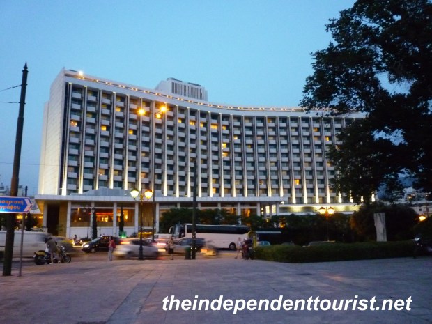
Athens Hilton at dusk.
We visited Athens in early June. We stayed at the Athens Hilton, which is not appealing architecturally, but the rooms are very pleasant and the hotel has the usual Hilton amenities. From the west side of the hotel the Acropolis is visible, and it’s about a 20 minute walk along Vasilissis Sofias Avenue to the Plaka area near the Acropolis. There are not a lot of restaurants near the hotel (we found a few a couple blocks southwest of the hotel), so it’s better to plan to eat elsewhere for main meals.

Pool at the Athens Hilton – felt good after a day in the city.
All of the sights below are within walking distance of each other and near the Acropolis.
The Acropolis
Although the Acropolis certainly doesn’t qualify as a “hidden gem,” getting there early in the morning during high season does. Our day started with a brisk walk from the Hilton to the Acropolis, arriving around 9 am, before the cruise ship crowds. We were very glad we got there early. By the time we left, the ticket lines were very long and the hill was mobbed. Most of the structures on the Acropolis were built 461 to 429 BC, during Athens’ Golden Age.
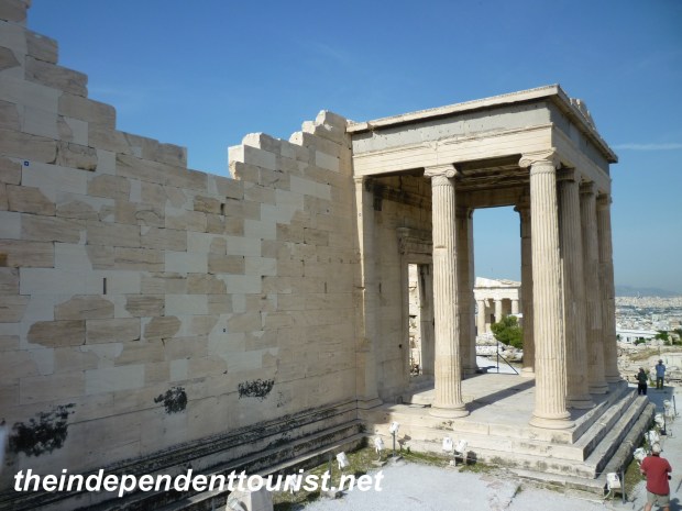
A side view of the Erechtheion Temple (406 BC).
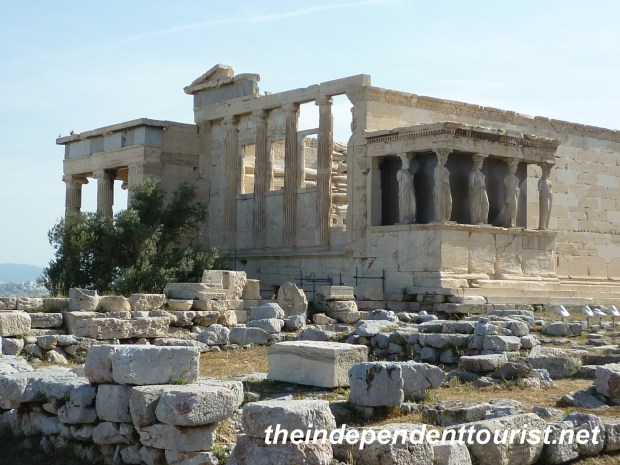
The Erechtheion (406 BC) .
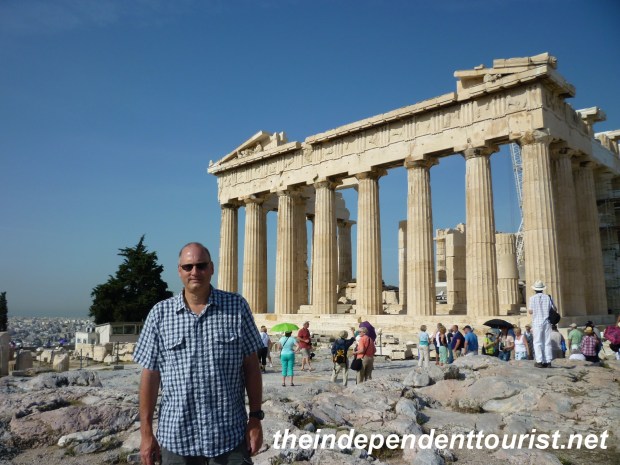
The eastern end of the Parthenon.
I wonder if the Parthenon has ever NOT had scaffolding around it? When I visited Athens 25 years ago, the Parthenon had scaffolding around it then too. I realize major monuments like this require constant maintenance, and there is currently a large project underway. The city views are very good from the hill. The tickets to the Acropolis are €12 per person, and are valid for 5 days and include visits to 5 sights, including the Agora, Pnyx, Hadrian’s Library, the Temple of Zeus, and the Kerameikos Cemetery.
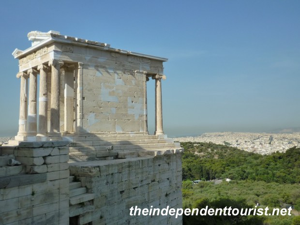
Temple of Athena Nike (427 – 424 BC), one of the most beautiful structures on the Acropolis.
Philopappos Hill
A gem hiding in plain sight of the Acropolis is Philopappos Hill, which is just a short walk to the southwest. Amazingly, there were almost no tourists here. The Hill and main monument are dedicated to a Syrian Prince who was a generous benefactor to Athens. There are some interesting tombs, other ruins and monuments and great views of the Acropolis from the Hill. In between the Acropolis and Philopappos Hill is an interesting little Byzantine Church, Church of Ayios Demetrios Loubardiaris.
Ancient tomb on Philopappos Hill.
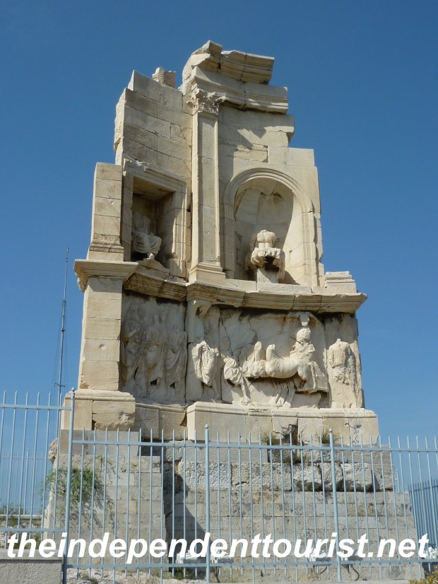
Monument to the Syrian Prince on Philopappos Hill.
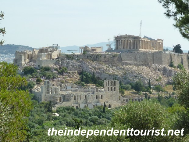
View of the Acropolis from Philopappos Hill.
Ancient Neighborhoods
Walking around to the Acropolis’ north side, there are the remains of the ancient city nestled up to the Acropolis. I did not take pictures, since it was hard to make out what is in the picture. However, there are some ancient roads and house foundations carved into the rock that may be interesting to those interested in the history of the area. Once again, we had this area to ourselves, and it is free.
The Pnyx
Orator’s Bema (speaker’s platform) at the Pnyx.
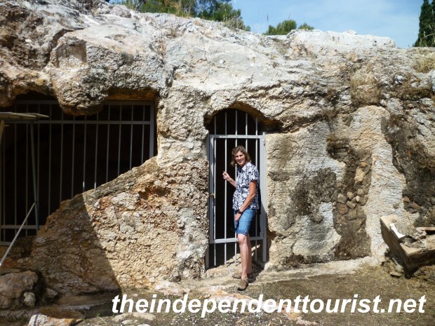
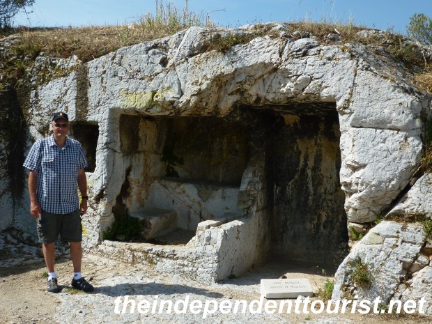
A cave home (Sanctuary of Pan) at the Pnyx.
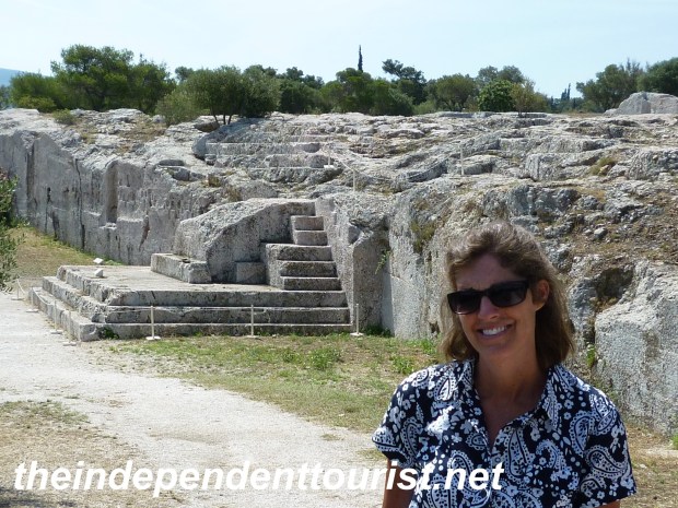
Another hidden gem is the Pnyx, just west of the Acropolis and next to the Ancient Agora. I missed this area on my first visit to Athens. The Pnyx was an ancient (5thcentury BC) gathering place for speeches during the time of the statesman Pericles (495 – 429 BC), and was not discovered until 1835. Oratory platforms, an amphitheater, and home foundations are open to view.
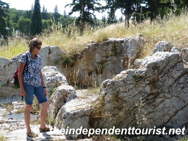
Robyn checking out the foundation of a home at the Pnyx.
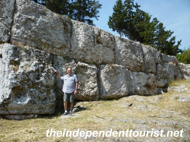
Huge stones of the retaining wall of the Pnyx – how did they position these huge blocks?
Kerameikos Cemetery
Further north of the Acropolis is the Kerameikos Cemetery. It takes its name from the pottery (“ceramic”) made here during Athens Golden age. The cemetery is about a 10 minute walk beyond the Agora, and receives few visitors. This cemetery dates as far back as the Bronze Age (approximately 3500 – 1200 BC), and was the most important cemetery in ancient Athens. Excavations began in 1863.
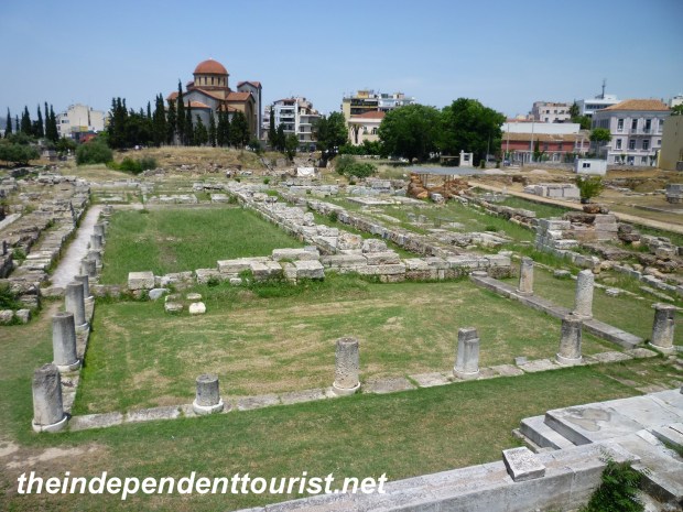
A view of the Kerameikos Cemetery.
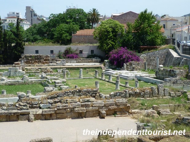
Another view of the Kerameikos Cemetery.
Reference: Fodor’s Guide to Greece, 9th Edition, 2010


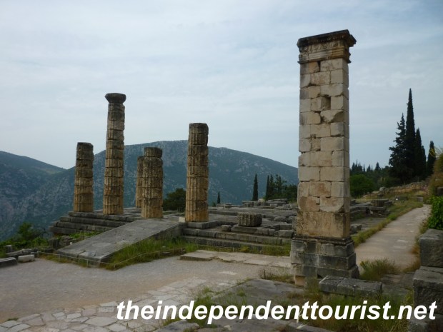
")
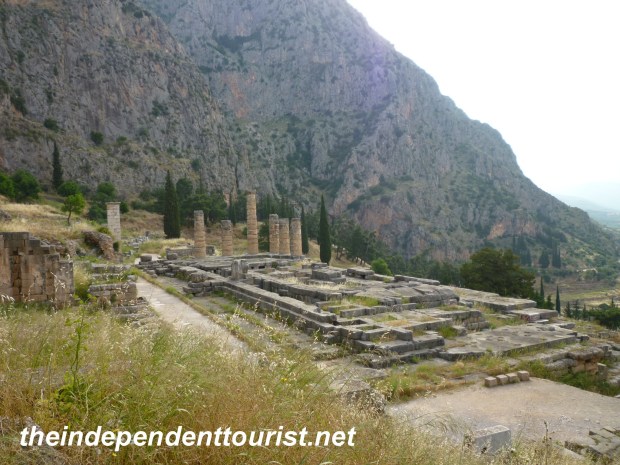
")
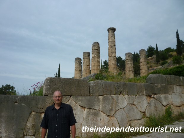
")


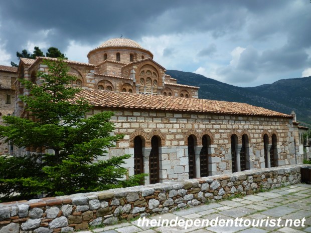
")