A view of Lake Snagov from the monastery.

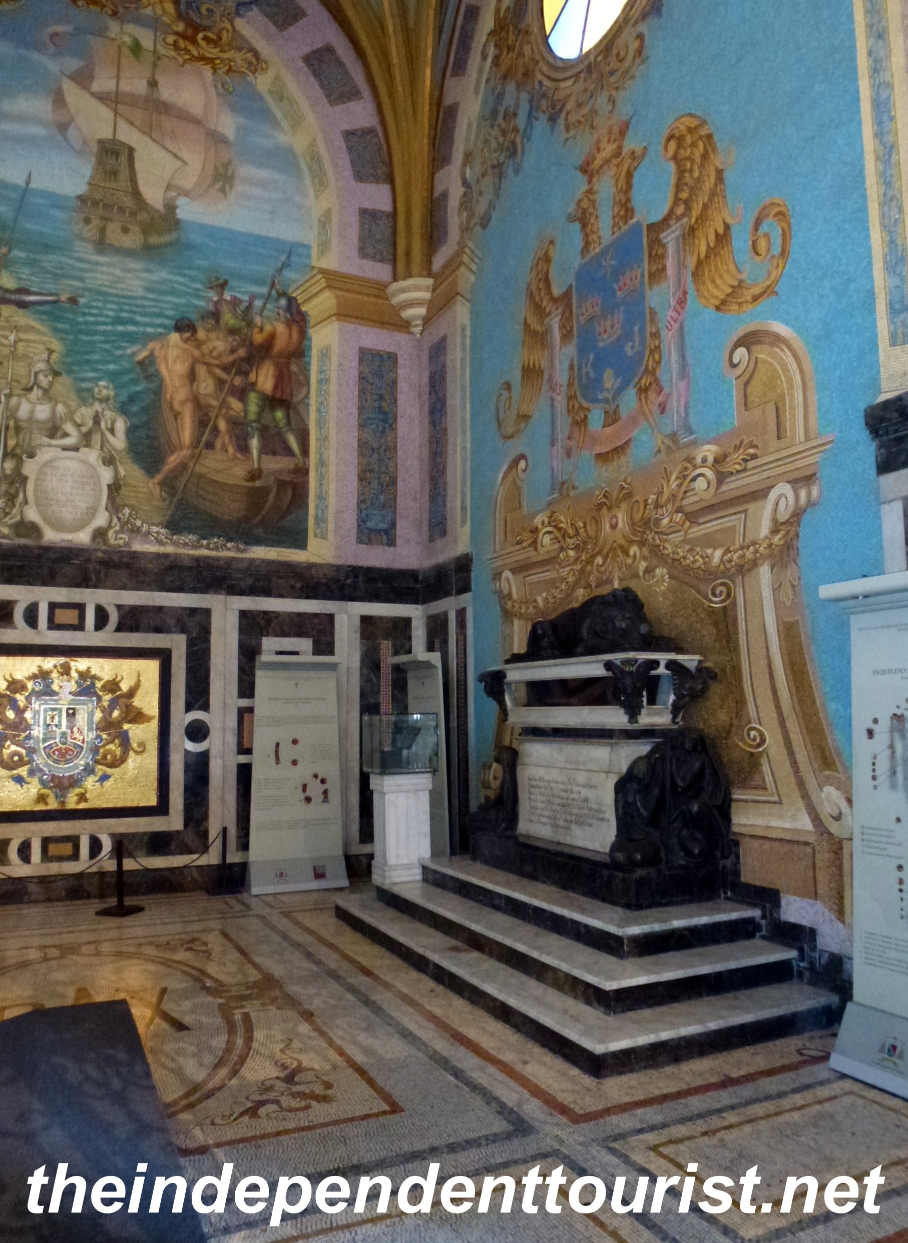
Snagov Monastery Church – Vlad Tepes grave is located here.
North of Bucharest is Snagov Monastery on Lake Snagov (for a map of Romania and sites visited click here). This is where Vlad Ţepeş is believed to be buried. Vlad “The Impaler” Ţepeş, (the man who inspired the legend of “Dracula”) lived from 1431 to 1476. The name Dracula comes from his father who was known as “Vlad Dracul,”a member of the “Order of the Dragon.” In 1476, Vlad Ţepeş was killed by the Turks in a battle near Bucharest and his head was taken as a prize to Istanbul. It’s believed that his body was buried at this monastery, which has existed on this spot since the 14th century. The remains were exhumed in the 1930’s and it was clear that the corpse had been decapitated, consistent with Vlad Ţepeş’ death.

The simple grave of Vlad Tepes – A plaque and a candle mark the spot.

My wife and son standing over “Dracula’s” grave.

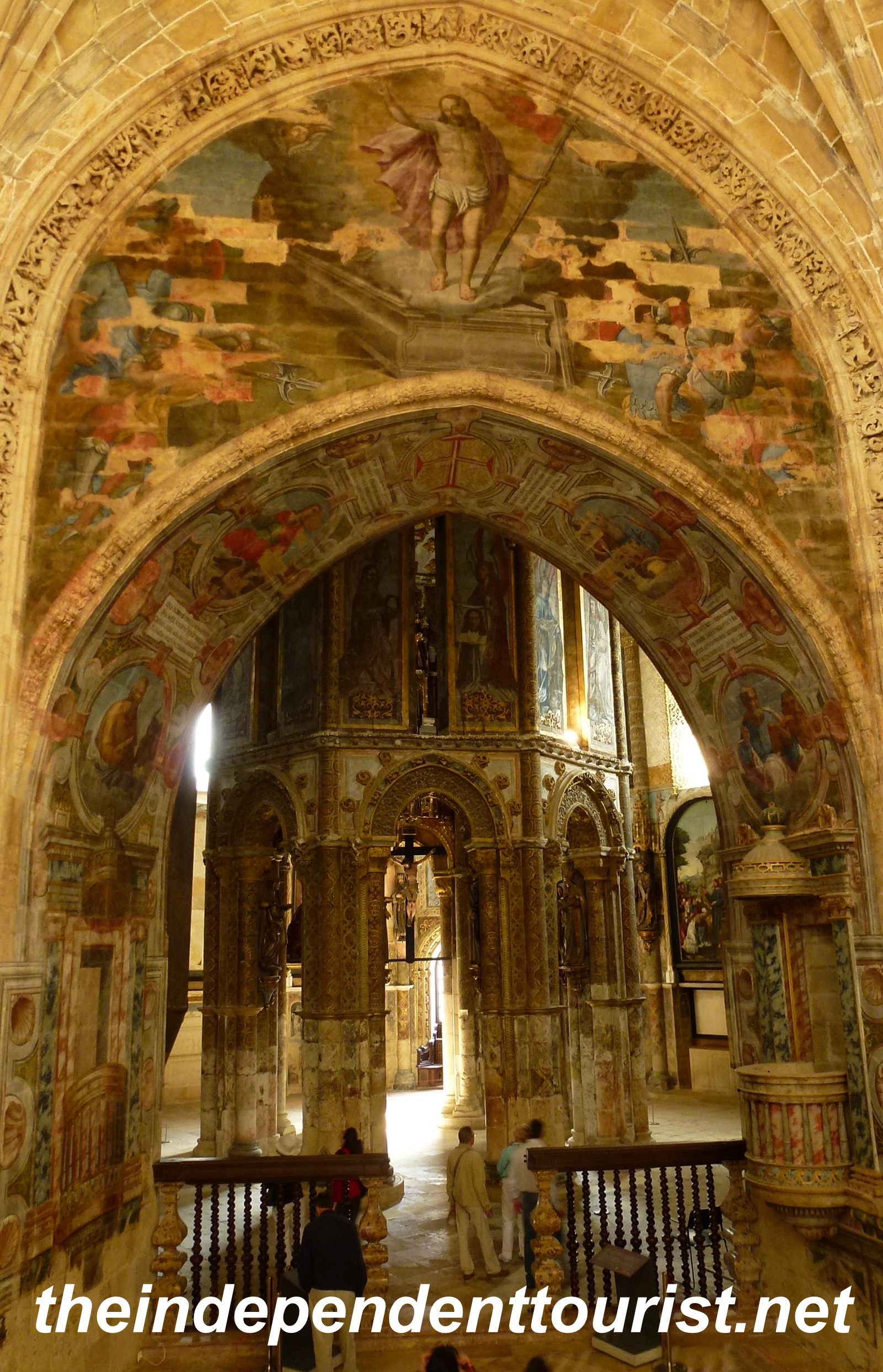
Another view of the interior of the church at Snagov.
Practicalities:
The monastery is located on a small island in Snagov Lake, at the northern end near the small village of Silestru. Let me say it here: you don’t need a boat to get to the monastery. Although both Lonely Planet and Rough Guide say you have to get a row boat, you can get to the monastery by foot, by crossing a small bridge. The road to the footbridge (located at the end of Vlad Ţepeş street) is not well marked (Silestru is just a little village), but wander around a bit or ask a local and I’m sure they’ll point you in the right direction. Park your car near the footbridge and if a man asks for a payment for leaving your car there, pay him and don’t quibble.

The footbridge from Silestru to Snagov Monastery.

The street that leads to the footbridge to Snagov Monastery.
There isn’t too much to see here other than the small chapel and the grave marking Vlad Ţepeş resting spot. But, given the Dracula lore, we had to make the stop. There are a few tour buses who also visit here as part of a day trip from Bucharest (about 35 km south of Snagov), so I would suggest getting here first thing when the monastery opens. We were leaving just as a crowd was arriving. Relative to other sights in Romania, the monastery was rather expensive, 15 lei per person (about 3 lei per USD).